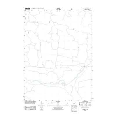
2011 Map of Halsey SE
USGS Topo · Published 2011About this map
The Dismal River meanders across the southern portion of this Nebraska landscape, defining the character of this Thomas County terrain as it appeared in 2011. This waterway, known for its steady flow through the Sandhills region, is the primary focal point for recreational activity and drainage in the area. Access to the river's winding course is provided at the Whitetail Canoe Launch/Campground, a site that anchors the southeastern portion of the map. Beyond the river valley, the geography is segmented by a network of rural routes, including Circle Rd and Nantick Rd, which navigate the undulating ground between the river and the northern reaches of the quadrangle. The map captures a moment in the modern management of this landscape, where the primary infrastructure consists of these isolated roads and recreational river access points.
Find a feature on this map
5 named features on this map. Tap any name to fly to it.
Don’t see what you’re looking for? This feature index may not catch every label — zoom into the map to look around manually.
Map Details
Editions of this 2011 Halsey SE Map
This is the sole edition of this map. No revisions or reprints were ever made.
Other maps of this area

1948 · Linscott
USGS Topo · 1:62,500

1948 · Halsey
USGS Topo · 1:62,500

1950 · Linscott
USGS Topo · 1:62,500

1950 · Halsey
USGS Topo · 1:62,500

1951 · Dunning
USGS Topo · 1:62,500

1951 · Hoagland
USGS Topo · 1:62,500

1954 · North Platte
USGS Topo · 1:250,000

1956 · North Platte
USGS Topo · 1:250,000

1957 · North Platte
USGS Topo · 1:250,000

1967 · North Platte
USGS Topo · 1:250,000