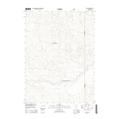
2014 Map of Halsey SE
USGS Topo · Published 2014About this map
The Dismal River carves a distinct path through the southern portion of this landscape, marking a sharp contrast to the surrounding topography within the Nebraska National Forest. This section of Thomas County, surveyed in 2014, captures the essential character of the Sandhills region, where the winding river corridor provides a rare drainage system through an otherwise undulating terrain. The human imprint on this part of the forest is defined by a sparse network of service routes, including Nantick Rd, Day Rd, and Circle Rd, which provide access to the interior for management and recreation. The eastern edge of the map identifies the jurisdictional boundary between Thomas County and Blaine County, illustrating how political lines bisect this largely uninhabited territory of the Nebraska plains.
Find a feature on this map
6 named features on this map. Tap any name to fly to it.
Don’t see what you’re looking for? This feature index may not catch every label — zoom into the map to look around manually.
Map Details
Editions of this 2014 Halsey SE Map
This is the sole edition of this map. No revisions or reprints were ever made.
Other maps of this area

1948 · Linscott
USGS Topo · 1:62,500

1948 · Halsey
USGS Topo · 1:62,500

1950 · Linscott
USGS Topo · 1:62,500

1950 · Halsey
USGS Topo · 1:62,500

1951 · Dunning
USGS Topo · 1:62,500

1951 · Hoagland
USGS Topo · 1:62,500

1954 · North Platte
USGS Topo · 1:250,000

1956 · North Platte
USGS Topo · 1:250,000

1957 · North Platte
USGS Topo · 1:250,000

1967 · North Platte
USGS Topo · 1:250,000