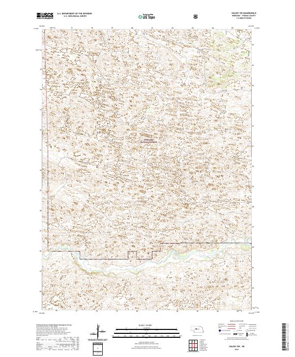
2021 Map of Halsey SW
USGS Topo · Published 2021About this map
Dismal River meanders through the southern reaches of this landscape, carving a distinct valley through the Nebraska Sandhills. Much of the central and northern terrain is defined by the protected expanse of the Nebraska National Forest, an area characterized by its intricate topography of dunes and blowouts. Significant landmarks like Signal Hill rise above the surrounding hills, serving as key points of reference within the forest's boundaries. Human presence is marked by a sparse network of forest routes, including Circle Rd and Natick Rd, which navigate the township lines of the t21n r27w and t22n r27w ranges. This map details a remote and specialized environment where conservation and land management dictate the patterns of the land.
Find a feature on this map
11 named features on this map. Tap any name to fly to it.
Don’t see what you’re looking for? This feature index may not catch every label — zoom into the map to look around manually.
Map Details
Editions of this 2021 Halsey SW Map
This is the sole edition of this map. No revisions or reprints were ever made.
Other maps of this area

1948 · Thedford
USGS Topo · 1:62,500

1948 · Halsey
USGS Topo · 1:62,500

1949 · Cody Lake
USGS Topo · 1:62,500

1950 · Thedford
USGS Topo · 1:62,500

1950 · Halsey
USGS Topo · 1:62,500

1951 · Cody Lake
USGS Topo · 1:62,500

1951 · Hoagland
USGS Topo · 1:62,500

1954 · North Platte
USGS Topo · 1:250,000

1956 · North Platte
USGS Topo · 1:250,000

1957 · North Platte
USGS Topo · 1:250,000