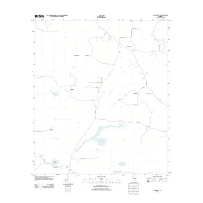
2012 Map of Hamburg
USGS Topo · Published 2012About this map
The Little Aucilla River snakes through this rural Florida landscape, defining the character of the borderlands near Maysland and Hamburg. The terrain is marked by distinct hydrological features like Johannah Lake, Pine Lake, and the geographically curious Blue Sink. Agricultural and aviation history is evident at Sales Field, while the woodland reaches near the river are monitored from the Lovett Lookout Tower. Genealogists will find this sheet particularly valuable for its concentration of small burial grounds, including Reaper Cem, Redding Hammock Cem, Smith Cem, and Redding Cem, which sit tucked away near the crossroads and hammock lands. The road network, including Co RD-211 and Kinsey Rd, connects dispersed settlements like Bailey and Spray, providing a clear record of residential and commercial patterns in this corner of Madison County during the early twenty-first century.
Find a feature on this map
42 named features on this map. Tap any name to fly to it.
Don’t see what you’re looking for? This feature index may not catch every label — zoom into the map to look around manually.
Map Details
Editions of this 2012 Hamburg Map
This is the sole edition of this map. No revisions or reprints were ever made.
Other maps of this area

1954 · Greenville
USGS Topo · 1:24,000

1954 · Greenville NE
USGS Topo · 1:24,000

1954 · Valdosta
USGS Topo · 1:250,000

1956 · Grooverville
USGS Topo · 1:24,000

1956 · Nankin
USGS Topo · 1:24,000

1956 · Baden
USGS Topo · 1:24,000

1958 · Valdosta
USGS Topo · 1:250,000

1959 · Valdosta
USGS Topo · 1:250,000

1959 · Madison
USGS Topo · 1:24,000

1960 · Cherry Lake
USGS Topo · 1:24,000