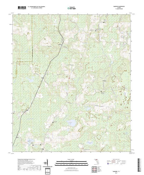
2024 Map of Hamburg
USGS Topo · Published 2024About this map
Maysland and Hamburg anchor this rural northern Florida landscape, where the Little Aucilla River meanders through a dense network of wetlands and small ponds. The area is defined by its historic cemeteries and country churches, which serve as essential markers of local lineage. Significant sites such as Shiloh Methodist Church Cem and Concord Missionary Baptist Church Cem are situated near the northern boundary, while Mount Nebo Church Cem and Redding Cem are found further south.
Find a feature on this map
65 named features on this map. Tap any name to fly to it.
Don’t see what you’re looking for? This feature index may not catch every label — zoom into the map to look around manually.
Map Details
Editions of this 2024 Hamburg Map
This is the sole edition of this map. No revisions or reprints were ever made.
Other maps of this area

1954 · Greenville
USGS Topo · 1:24,000

1954 · Greenville NE
USGS Topo · 1:24,000

1954 · Valdosta
USGS Topo · 1:250,000

1956 · Grooverville
USGS Topo · 1:24,000

1956 · Nankin
USGS Topo · 1:24,000

1956 · Baden
USGS Topo · 1:24,000

1958 · Valdosta
USGS Topo · 1:250,000

1959 · Valdosta
USGS Topo · 1:250,000

1959 · Madison
USGS Topo · 1:24,000

1960 · Cherry Lake
USGS Topo · 1:24,000