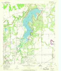
1957 Map of Hamby
USGS Topo · Published 1968About this map
Fort Phantom Hill Lake dominates the central landscape of this Jones and Taylor County region, serving as a primary reservoir with its normal pool elevation of 1626 feet. The map illustrates a complex water system including the Clear Fork Brazos River, Elm Creek, and Deadman Creek, which feed into and navigate around the lake's jagged shoreline. Settlements like Hamby and Lanius are situated near the southern and western margins, connected by the industrial corridor of the Fort Worth and Denver (Burlington) railroad. Cultural markers of the late 1950s and 1960s are evident in the inclusion of a Drive-in Theater and a Radio Tower near the tracks. Local history is further grounded by landmarks such as the Roland Mound Cem and numerous Gravel Pits, reflecting the area's rural economy and land use during this period of mid-century development.
Find a feature on this map
27 named features on this map. Tap any name to fly to it.
Don’t see what you’re looking for? This feature index may not catch every label — zoom into the map to look around manually.
Map Details
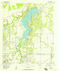
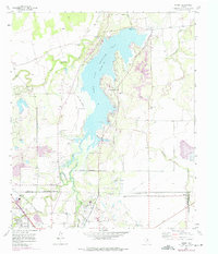
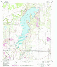
Editions of this 1957 Hamby Map
4 editions found
Other maps of this area

1890 · Abilene
USGS Topo · 1:125,000

1891 · Anson
USGS Topo · 1:125,000

1892 · Abilene
USGS Topo · 1:125,000

1893 · Anson
USGS Topo · 1:125,000

1954 · Abilene
USGS Topo · 1:250,000

1957 · Hawley
USGS Topo · 1:62,500

1957 · Kirby Lake
USGS Topo · 1:62,500

1957 · Abilene West
USGS Topo · 1:24,000

1957 · Abilene East
USGS Topo · 1:24,000

1957 · Nugent
USGS Topo · 1:62,500