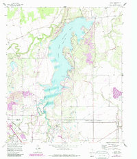
1957 Map of Hamby
USGS Topo · Published 1987About this map
Lake Fort Phantom Hill dominates the central landscape of this West Texas survey, serving as a focal point for water management and infrastructure during the mid-20th century. The map illustrates a complex network of hydrological and industrial features, including a Pumping Station, an Aqueduct, and a Control Tower and Gaging Sta at the northern spillway. These developments reflect the area's expansion into the Abilene Corporate Boundary, showing the intersection of municipal growth and the natural courses of the Clear Fork Brazos River and Elm Creek.
Find a feature on this map
21 named features on this map. Tap any name to fly to it.
Don’t see what you’re looking for? This feature index may not catch every label — zoom into the map to look around manually.
Map Details
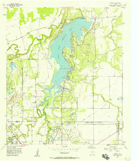
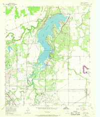
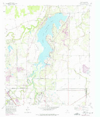
Editions of this 1957 Hamby Map
4 editions found
Other maps of this area

1890 · Abilene
USGS Topo · 1:125,000

1891 · Anson
USGS Topo · 1:125,000

1892 · Abilene
USGS Topo · 1:125,000

1893 · Anson
USGS Topo · 1:125,000

1954 · Abilene
USGS Topo · 1:250,000

1957 · Hawley
USGS Topo · 1:62,500

1957 · Kirby Lake
USGS Topo · 1:62,500

1957 · Abilene West
USGS Topo · 1:24,000

1957 · Abilene East
USGS Topo · 1:24,000

1957 · Nugent
USGS Topo · 1:62,500