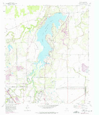
1957 Map of Hamby
USGS Topo · Published 1975About this map
Lake Fort Phantom Hill dominates this West Texas landscape, serving as a primary water source for the growing city of Abilene. The 1957 survey, with photorevisions through the mid-1970s, captures the complex infrastructure required for municipal expansion, including a Pumping Sta, Aqueduct, and several Pipelines. The geography is defined by the confluence of the Clear Fork Brazos River and its tributaries, such as Elm Creek and Mulberry Creek.
Find a feature on this map
31 named features on this map. Tap any name to fly to it.
Don’t see what you’re looking for? This feature index may not catch every label — zoom into the map to look around manually.
Map Details
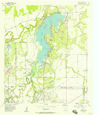
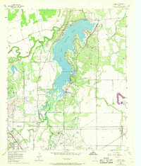
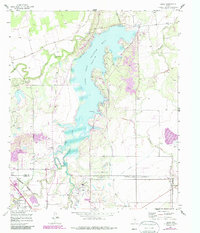
Editions of this 1957 Hamby Map
4 editions found
Other maps of this area

1890 · Abilene
USGS Topo · 1:125,000

1891 · Anson
USGS Topo · 1:125,000

1892 · Abilene
USGS Topo · 1:125,000

1893 · Anson
USGS Topo · 1:125,000

1954 · Abilene
USGS Topo · 1:250,000

1957 · Hawley
USGS Topo · 1:62,500

1957 · Kirby Lake
USGS Topo · 1:62,500

1957 · Abilene West
USGS Topo · 1:24,000

1957 · Abilene East
USGS Topo · 1:24,000

1957 · Nugent
USGS Topo · 1:62,500