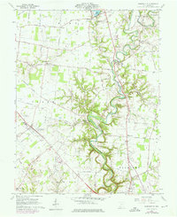
1960 Map of Hamersville
USGS Topo · Published 1976About this map
White Oak Creek winds dramatically through the center of this Brown County landscape, creating the deep White Oak Valley that dominates the local topography. This 1960s era survey, with 1970s revisions, illustrates a rural Ohio community defined by its crossroads settlements and traditional infrastructure. The village of Hamersville serves as a primary hub, while smaller locales like New Hope, Wahlsburg, and Shiloh are connected by a dense network of country roads including Lucas Road and Daughtery Road.
Find a feature on this map
65 named features on this map. Tap any name to fly to it.
Don’t see what you’re looking for? This feature index may not catch every label — zoom into the map to look around manually.
Map Details
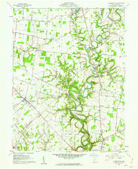
Editions of this 1960 Hamersville Map
2 editions found
Other maps of this area

1914 · Batavia
USGS Topo · 1:48,000

1916 · Batavia
USGS Topo · 1:62,500

1917 · Sardinia
USGS Topo · 1:62,500

1928 · Higginsport
USGS Topo · 1:48,000

1931 · Felicity
USGS Topo · 1:62,500

1931 · Higginsport
USGS Topo · 1:62,500

1944 · Sardinia
USGS Topo · 1:62,500

1947 · Columbus
USGS Topo · 1:250,000

1952 · Higginsport
USGS Topo · 1:24,000

1953 · Bethel
USGS Topo · 1:24,000