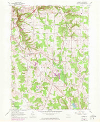
1960 Map of Hammett
USGS Topo · Published 1972About this map
Wintergreen Gorge and the upper reaches of Le Boeuf Creek define the varied terrain of this Erie County landscape during the early 1970s. The map illustrates a transitional suburban and rural environment, where the Behrend Campus Pa State University sits near the growing Belleview Heights. Local community life is centered around institutions like St Boniface Sch & Cem, St Peters Ch, and the Township Sch in Hammett.
Find a feature on this map
60 named features on this map. Tap any name to fly to it.
Don’t see what you’re looking for? This feature index may not catch every label — zoom into the map to look around manually.
Map Details
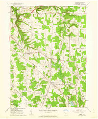
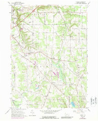
Editions of this 1960 Hammett Map
3 editions found
Other maps of this area

1899 · Erie
USGS Topo · 1:62,500

1900 · Erie
USGS Topo · 1:62,500

1913 · North East
USGS Topo · 1:62,500

1915 · North East
USGS Topo · 1:62,500

1923 · Cambridge Springs
USGS Topo · 1:62,500

1925 · Cambridge Springs
USGS Topo · 1:62,500

1929 · Union City
USGS Topo · 1:62,500

1932 · Union City
USGS Topo · 1:62,500

1943 · North East
USGS Topo · 1:62,500

1943 · Cambridge Springs
USGS Topo · 1:62,500