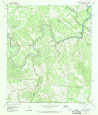
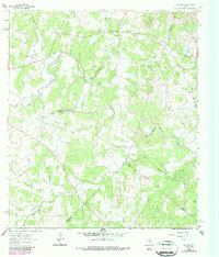
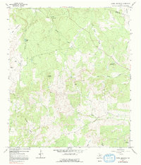
1967 Map of Hammetts Crossing
USGS Topo · Published 1970This historical map portrays the area of Hammetts Crossing in 1967, primarily covering Blanco County as well as portions of Travis County and Hays County. Featuring a scale of 1:24000, this map provides a highly detailed snapshot of the terrain, roads, buildings, counties, and historical landmarks in the Hammetts Crossing region at the time. Published in 1970, it is one of 2 known editions of this map due to revisions or reprints.
Find a feature on this map
19 named features on this map. Tap any name to fly to it.
Don’t see what you’re looking for? This feature index may not catch every label — zoom into the map to look around manually.
Map Details
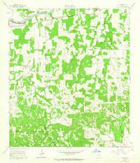
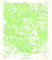
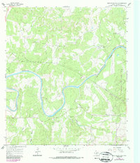
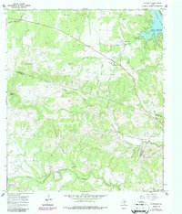
Editions of this 1967 Hammetts Crossing Map
2 editions found
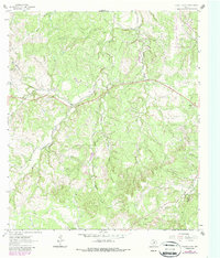
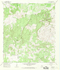
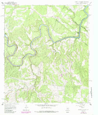
Historical Maps of Blanco County Through Time
11 maps found
1961 Hye
Blanco County, TX
1961 Rocky Creek
Blanco County, TX
1963 Monument Hill
Blanco County, TX
1963 Payton
Blanco County, TX
1963 Yeager Creek
Blanco County, TX
1967 Blowout
Blanco County, TX
1967 Hammetts Crossing
Blanco County, TX
1967 Howell Mountain
Blanco County, TX
1967 Pedernales Falls
Blanco County, TX
1967 Spicewood
Blanco County, TX
1985 Pedernales River
Blanco County, TX