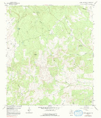
1967 Map of Howell Mountain
USGS Topo · Published 1992About this map
The Llano and Blanco County line cuts through this high Hill Country terrain, where the landscape is defined by drainage systems and prominent peaks. Howell Mountain and Rattlesnake Mountain rise above the surrounding creeks, including the headwaters of North Cypress Creek and Pecan Creek. The area shows a specialized ranching economy in the late 1960s, evidenced by the A W Ranch Landing Strip and another private Landing Strip near West Ranch. Social life and community landmarks are sparse but significant in this environment, anchored by the Walnut Hill Ch and several named gaps such as Porter Gap and Casner Gap that dictate travel through the ridges. The presence of Taylor Lake and various gravel pits suggests a landscape managed for water storage and local materials as these rural ranching operations maintained their independence in the central Texas hills.
Find a feature on this map
25 named features on this map. Tap any name to fly to it.
Don’t see what you’re looking for? This feature index may not catch every label — zoom into the map to look around manually.
Map Details
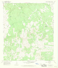
Editions of this 1967 Howell Mountain Map
2 editions found
Other maps of this area

1887 · Llano
USGS Topo · 1:125,000

1887 · Blanco
USGS Topo · 1:125,000

1887 · Burnet
USGS Topo · 1:125,000

1893 · Burnet
USGS Topo · 1:125,000

1894 · Fredericksburg
USGS Topo · 1:125,000

1894 · Blanco
USGS Topo · 1:125,000

1894 · Llano
USGS Topo · 1:125,000

1903 · Burnet
USGS Topo · 1:125,000

1904 · Llano
USGS Topo · 1:125,000

1909 · Llano
USGS Topo · 1:125,000