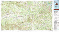
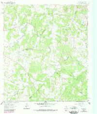
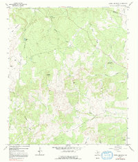
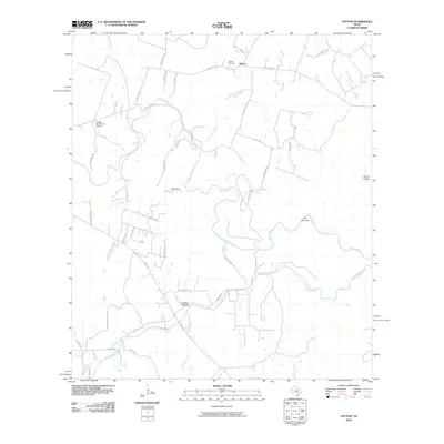
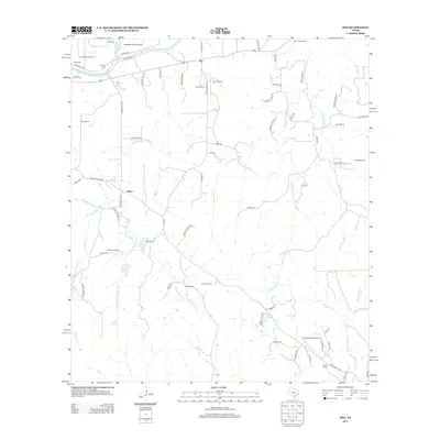
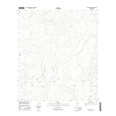
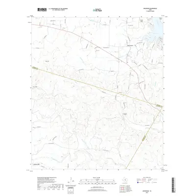
1985 Map of Pedernales River
USGS Topo · Published 1992About this map
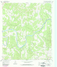
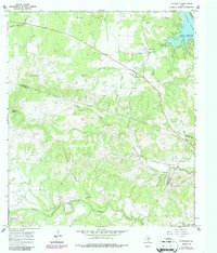
The Pedernales River carves a winding path through the Texas Hill Country in this mid-1980s look at a landscape defined by ranching heritage and political history. Central to the map is the Lyndon B Johnson National Historic Park near Stonewall, reflecting the presidential legacy tied to these riverbanks. To the west, the German-heritage settlement of Fredericksburg stands as a primary hub, while smaller storied locales like Luckenbach and Bankersmith occupy the surrounding rural intersections. The topography is marked by distinctive granite and limestone landmarks, most notably the massive Enchanted Rock State Park in the northwest corner. This era shows the region before the intense modern suburban expansion from nearby cities, instead highlighting a network of state parks including Pedernales Falls State Park and Blanco State Park that protect the area's characteristic waterfalls and river access points.
Find a feature on this map
111 named features on this map. Tap any name to fly to it.
Don’t see what you’re looking for? This feature index may not catch every label — zoom into the map to look around manually.
Map Details
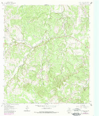
Editions of this 1985 Pedernales River Map
2 editions found

Historical Maps of Lakeway Through Time
61 maps found
1961 Hye
Blanco County, TX
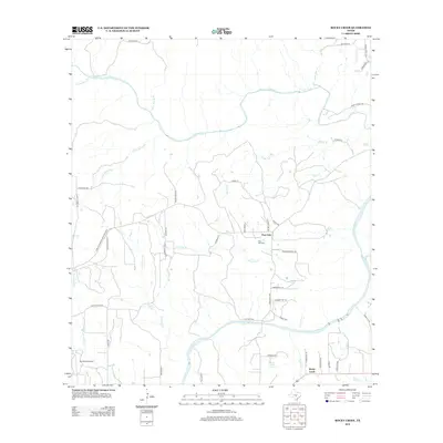
1961 Rocky Creek
Blanco County, TX
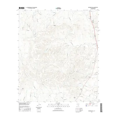
1963 Monument Hill
Blanco County, TX
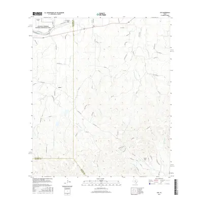
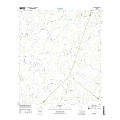
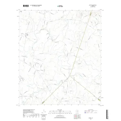
1963 Payton
Blanco County, TX
1963 Yeager Creek
Blanco County, TX
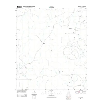
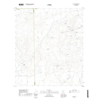
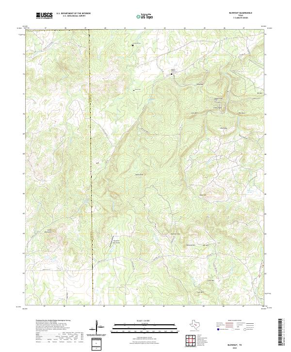
1967 Blowout
Blanco County, TX
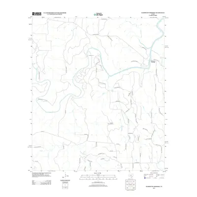
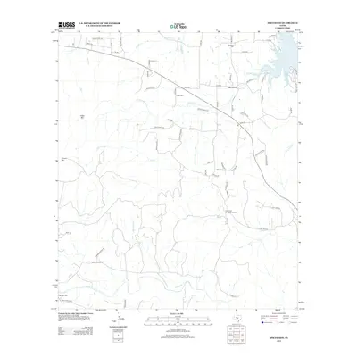
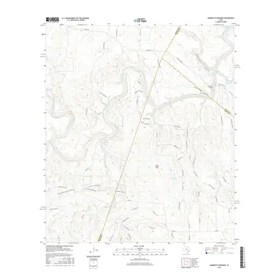
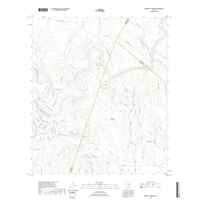
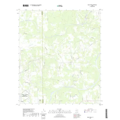
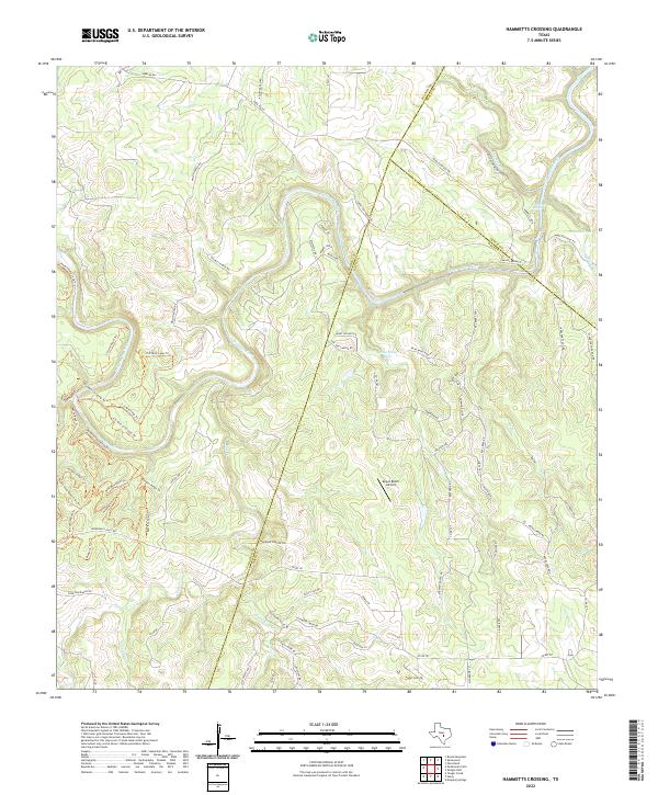
1967 Hammetts Crossing
Blanco County, TX
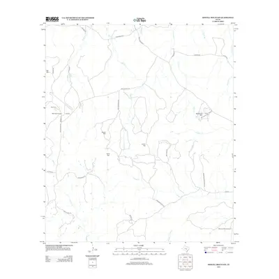
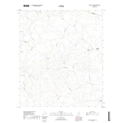
1967 Howell Mountain
Blanco County, TX
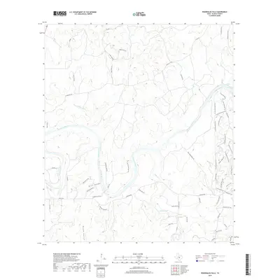
1967 Pedernales Falls
Blanco County, TX
1967 Spicewood
Blanco County, TX
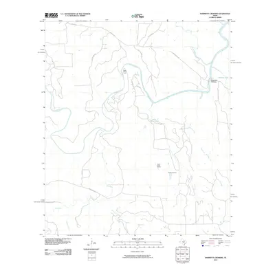
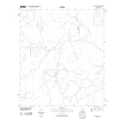
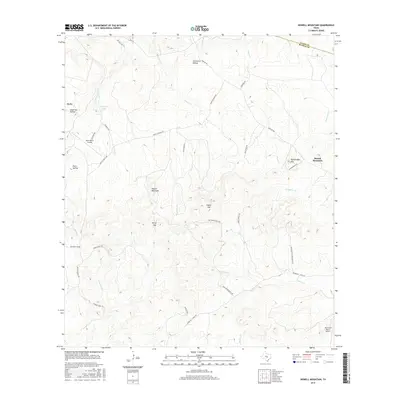
1985 Pedernales River
Blanco County, TX
2010 Blowout
Blanco County, TX
2010 Hammetts Crossing
Blanco County, TX
2010 Howell Mountain
Blanco County, TX
2010 Hye
Blanco County, TX
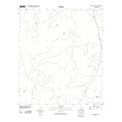
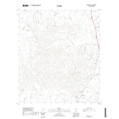
2010 Monument Hill
Blanco County, TX
2010 Payton
Blanco County, TX
2010 Pedernales Falls
Blanco County, TX
2010 Rocky Creek
Blanco County, TX
2010 Spicewood
Blanco County, TX
2010 Yeager Creek
Blanco County, TX
2012 Blowout
Blanco County, TX
2012 Hammetts Crossing
Blanco County, TX
2012 Howell Mountain
Blanco County, TX
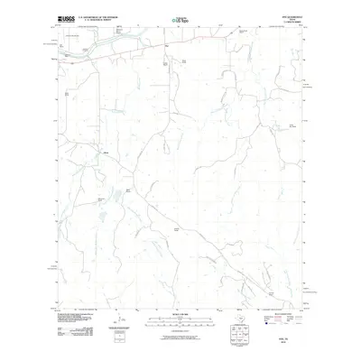
2012 Hye
Blanco County, TX
2012 Monument Hill
Blanco County, TX
2012 Payton
Blanco County, TX
2012 Pedernales Falls
Blanco County, TX
2012 Rocky Creek
Blanco County, TX
2012 Spicewood
Blanco County, TX

2012 Yeager Creek
Blanco County, TX
2016 Blowout
Blanco County, TX
2016 Hammetts Crossing
Blanco County, TX
2016 Howell Mountain
Blanco County, TX
2016 Hye
Blanco County, TX
2016 Monument Hill
Blanco County, TX
2016 Payton
Blanco County, TX
2016 Pedernales Falls
Blanco County, TX
2016 Rocky Creek
Blanco County, TX
2016 Spicewood
Blanco County, TX
2016 Yeager Creek
Blanco County, TX
2019 Blowout
Blanco County, TX
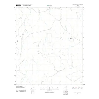
2019 Hammetts Crossing
Blanco County, TX
2019 Howell Mountain
Blanco County, TX
2019 Hye
Blanco County, TX
2019 Monument Hill
Blanco County, TX
2019 Payton
Blanco County, TX
2019 Pedernales Falls
Blanco County, TX
2019 Rocky Creek
Blanco County, TX
2019 Spicewood
Blanco County, TX
2019 Yeager Creek
Blanco County, TX
2022 Blowout
Blanco County, TX
2022 Hammetts Crossing
Blanco County, TX
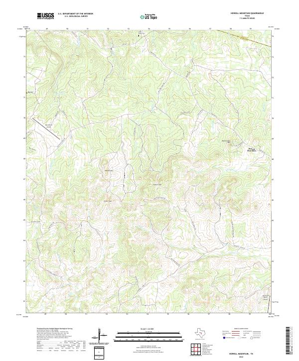
2022 Howell Mountain
Blanco County, TX
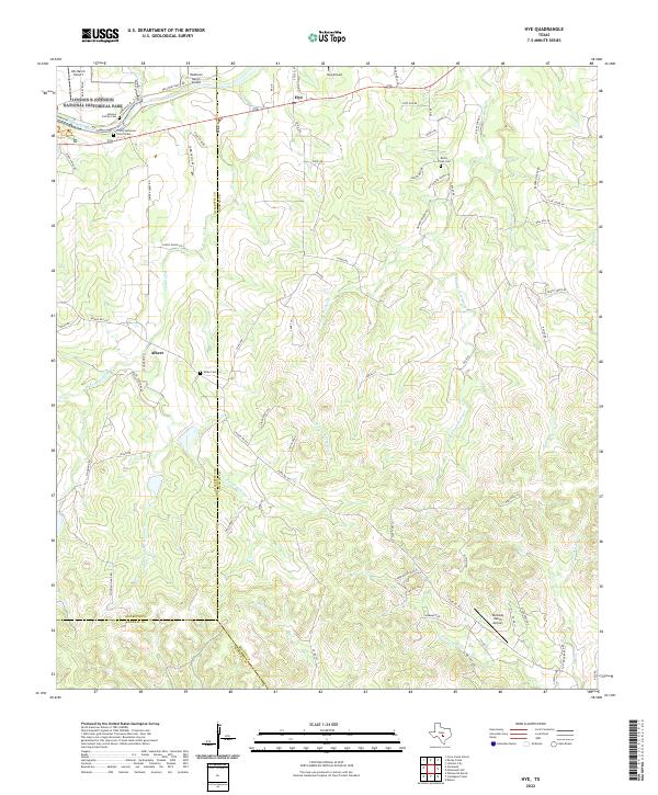
2022 Hye
Blanco County, TX
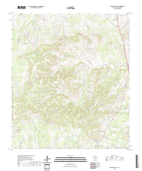
2022 Monument Hill
Blanco County, TX
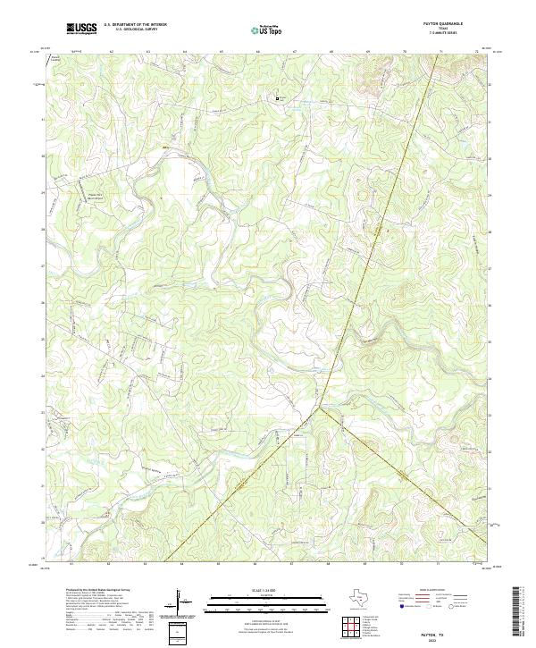
2022 Payton
Blanco County, TX
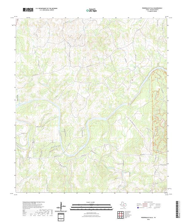
2022 Pedernales Falls
Blanco County, TX
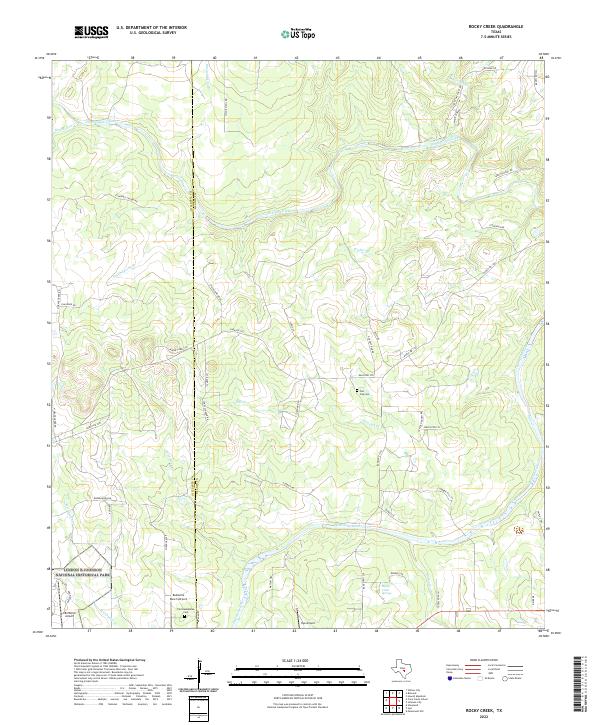
2022 Rocky Creek
Blanco County, TX
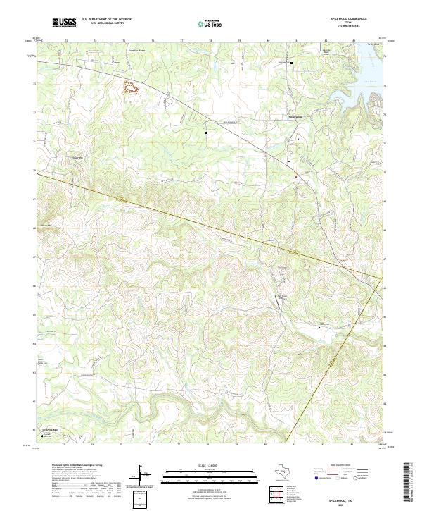
2022 Spicewood
Blanco County, TX
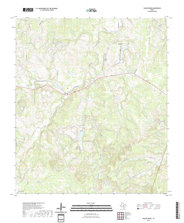
2022 Yeager Creek
Blanco County, TX