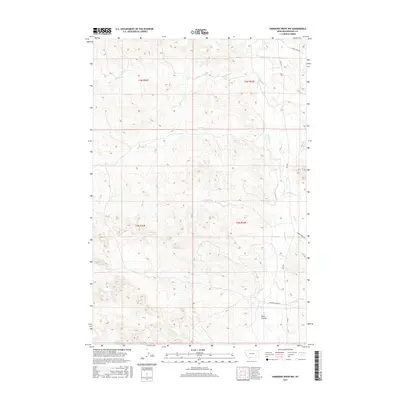
2017 Map of Hammond Draw NW
USGS Topo · Published 2017About this map
Rosebud Cr winds through this section of Rosebud County, serving as the primary drainage for a landscape defined by deep coulees and seasonal stream beds. The terrain is marked by the wide basin of Sand Coulee in the southeast, while numerous named tributaries like Pony Cr, Sprague Cr, and John Hen Cr carve through the high plains. The drainage patterns illustrated here reveal the complex topography of the Big Horn Basin's eastern reaches, where water management and natural forage dictate land use.
Find a feature on this map
17 named features on this map. Tap any name to fly to it.
Don’t see what you’re looking for? This feature index may not catch every label — zoom into the map to look around manually.
Map Details
Editions of this 2017 Hammond Draw NW Map
This is the sole edition of this map. No revisions or reprints were ever made.
Other maps of this area

1954 · Hardin
USGS Topo · 1:250,000

1954 · Forsyth
USGS Topo · 1:250,000

1957 · Hardin
USGS Topo · 1:250,000

1957 · Forsyth
USGS Topo · 1:250,000

1958 · Forsyth
USGS Topo · 1:250,000

1958 · Hardin
USGS Topo · 1:250,000

1971 · Colstrip SE
USGS Topo · 1:24,000

1971 · Hammond Draw NW
USGS Topo · 1:24,000

1971 · Colstrip East
USGS Topo · 1:24,000

1971 · Hammond Draw
USGS Topo · 1:24,000