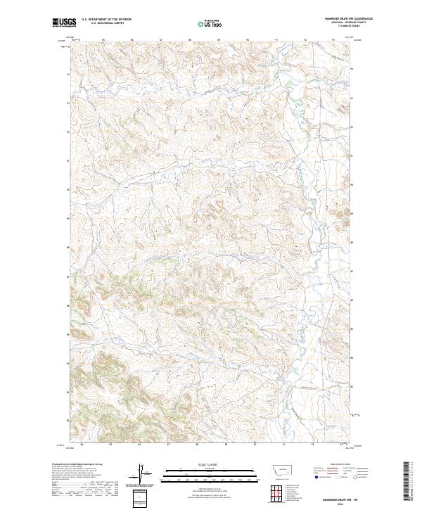
2024 Map of Hammond Draw NW
USGS Topo · Published 2024About this map
Rosebud Creek flows through this corner of Rosebud County, serving as the primary drainage for a network of coulees and seasonal streams in this part of Montana. The landscape is defined by its watercourse pattern, where Sprague Creek and Spring Creek feed into the larger Rosebud system. To the east, Cherry Creek and Snider Creek carve through the terrain, illustrating the classic erosional features of the region. Human presence in this section of the state is marked by ranching-related infrastructure and rural transport routes. Rte 447 provides the main north-south passage through the area, while local identifiers like Diamond Ranch Ln and Cherry Creek Rd suggest the long-standing agricultural and ranching legacy tied to specific families and landholdings. This survey is a record of how contemporary Montana land management and transportation still follow the natural contours of the high plains.
Find a feature on this map
17 named features on this map. Tap any name to fly to it.
Don’t see what you’re looking for? This feature index may not catch every label — zoom into the map to look around manually.
Map Details
Editions of this 2024 Hammond Draw NW Map
This is the sole edition of this map. No revisions or reprints were ever made.
Other maps of this area

1954 · Hardin
USGS Topo · 1:250,000

1954 · Forsyth
USGS Topo · 1:250,000

1957 · Hardin
USGS Topo · 1:250,000

1957 · Forsyth
USGS Topo · 1:250,000

1958 · Forsyth
USGS Topo · 1:250,000

1958 · Hardin
USGS Topo · 1:250,000

1971 · Colstrip SE
USGS Topo · 1:24,000

1971 · Hammond Draw NW
USGS Topo · 1:24,000

1971 · Colstrip East
USGS Topo · 1:24,000

1971 · Hammond Draw
USGS Topo · 1:24,000