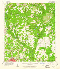
1959 Map of Hammond
USGS Topo · Published 1960About this map
The Tangipahoa River and Chappepeela Creek systems anchor this mid-century landscape, illustrating the intricate drainage and settlement patterns of the Piney Woods. Centered on the growing city of Hammond, the map records a dense network of country churches and small family cemeteries that testify to a deeply rooted rural genealogy. Features like Southeastern La College and the Illinois Central Railroad highlight Hammond's role as an educational and transportation hub, while the surrounding territory is dotted with names like Husser, Loranger, and Independence. Significant land use is visible through the numerous Gravel Pits and the sprawling Zemurray Park, which contains Mirror Lake and Buzzards Roost Swamp. From the Hammond Lookout Tower to the small schools such as Sweetwater Sch, the sheet captures the late-1950s transition between small-town commerce and traditional forest-based industry.
Find a feature on this map
136 named features on this map. Tap any name to fly to it.
Don’t see what you’re looking for? This feature index may not catch every label — zoom into the map to look around manually.
Map Details
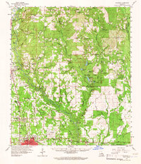
Editions of this 1959 Hammond Map
2 editions found
Other maps of this area

1934 · Springfield
USGS Topo · 1:62,500

1935 · Covington
USGS Topo · 1:62,500

1935 · Ponchatoula
USGS Topo · 1:62,500

1939 · Ponchatoula
USGS Topo · 1:62,500

1939 · Covington
USGS Topo · 1:62,500

1939 · Springfield
USGS Topo · 1:62,500

1940 · Tickfaw
USGS Topo · 1:31,680

1940 · Roseland
USGS Topo · 1:31,680

1942 · Roseland
USGS Topo · 1:31,680

1942 · Onville
USGS Topo · 1:31,680