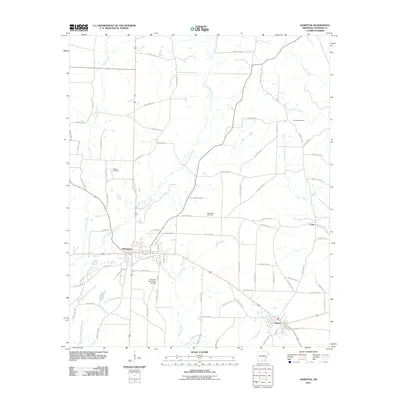
2011 Map of Hampton
USGS Topo · Published 2011About this map
Hampton serves as the focal point of this Calhoun County landscape, situated at the intersection of several local routes in southern Arkansas. The town's grid extends toward the Hampton Municipal Airport to the south, while the surrounding territory is defined by a dense network of watercourses including Champagnolle Creek and Taylor Creek. This area's rural character is underscored by the presence of family and community landmarks such as Means Cemetery, Macedonia Cemetery, and Earnest Cemetery, which offer valuable points of reference for genealogical research.
Find a feature on this map
70 named features on this map. Tap any name to fly to it.
Don’t see what you’re looking for? This feature index may not catch every label — zoom into the map to look around manually.
Map Details
Editions of this 2011 Hampton Map
This is the sole edition of this map. No revisions or reprints were ever made.
Other maps of this area

1903 · Camden
USGS Topo · 1:125,000

1934 · Moro Bay
USGS Topo · 1:62,500

1938 · Moro Bay
USGS Topo · 1:62,500

1939 · Moro Bay
USGS Topo · 1:62,500

1953 · El Dorado
USGS Topo · 1:250,000

1957 · El Dorado
USGS Topo · 1:250,000

1958 · El Dorado
USGS Topo · 1:250,000

1960 · El Dorado
USGS Topo · 1:250,000

1962 · Smackover NE
USGS Topo · 1:24,000

1964 · Smackover
USGS Topo · 1:62,500