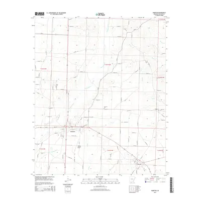
2014 Map of Hampton
USGS Topo · Published 2014About this map
Hampton serves as the central hub of this South Arkansas landscape, where the intersection of Us-167 and Us-278 anchors the local transportation network. The town's grid of residential streets, including Archer St and Locust St, gives way to a sprawling rural geography defined by a dense network of county roads and winding waterways. The drainage pattern is dominated by the Champagnolle Cr and its tributaries, such as Little Champagnolle Cr and Blann Cr, which carve through the timberlands. To the southeast, the settlement of Harrell sits along the rail corridor, while family and community landmarks like Means Cem, Macedonia Cem, and Earnest Cem offer vital points of reference for genealogists. The presence of the Hampton Municipal Airport and the small settlement at Cram further illustrate the distribution of infrastructure across Calhoun County.
Find a feature on this map
114 named features on this map. Tap any name to fly to it.
Don’t see what you’re looking for? This feature index may not catch every label — zoom into the map to look around manually.
Map Details
Editions of this 2014 Hampton Map
This is the sole edition of this map. No revisions or reprints were ever made.
Other maps of this area

1903 · Camden
USGS Topo · 1:125,000

1934 · Moro Bay
USGS Topo · 1:62,500

1938 · Moro Bay
USGS Topo · 1:62,500

1939 · Moro Bay
USGS Topo · 1:62,500

1953 · El Dorado
USGS Topo · 1:250,000

1957 · El Dorado
USGS Topo · 1:250,000

1958 · El Dorado
USGS Topo · 1:250,000

1960 · El Dorado
USGS Topo · 1:250,000

1962 · Smackover NE
USGS Topo · 1:24,000

1964 · Smackover
USGS Topo · 1:62,500