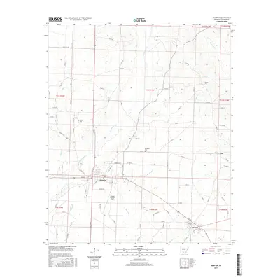
2017 Map of Hampton
USGS Topo · Published 2017About this map
The city of Hampton serves as the focal point of this 2017 survey of Calhoun County, where the street grid is defined by thoroughfares like Main, Elm, and Dunn Ave. The surrounding landscape is characterized by a dense network of watercourses, including the winding Champagnolle Cr and Taylor Cr, which drain the timberlands and rural properties of the region. Transportation and infrastructure are anchored by the Hampton Municipal Airport and a web of county roads connecting small settlements and family holdings.
Find a feature on this map
102 named features on this map. Tap any name to fly to it.
Don’t see what you’re looking for? This feature index may not catch every label — zoom into the map to look around manually.
Map Details
Editions of this 2017 Hampton Map
This is the sole edition of this map. No revisions or reprints were ever made.
Other maps of this area

1903 · Camden
USGS Topo · 1:125,000

1934 · Moro Bay
USGS Topo · 1:62,500

1938 · Moro Bay
USGS Topo · 1:62,500

1939 · Moro Bay
USGS Topo · 1:62,500

1953 · El Dorado
USGS Topo · 1:250,000

1957 · El Dorado
USGS Topo · 1:250,000

1958 · El Dorado
USGS Topo · 1:250,000

1960 · El Dorado
USGS Topo · 1:250,000

1962 · Smackover NE
USGS Topo · 1:24,000

1964 · Smackover
USGS Topo · 1:62,500