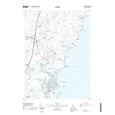
2021 Map of Hampton
USGS Topo · Published 2021About this map
Hampton and its surrounding coastal communities are defined by a complex network of tidal waterways and historic family settlements in this 2021 study. The landscape transitions from the sandy stretches of Seabrook Beach and Hampton Beach to the intricate marshes of Hampton Flats and Line Swamp. Local genealogy is deeply etched into the terrain through numerous small burial grounds such as the Marden Family Cem, Dalton Cem, and Philbrick Family Cem.
Find a feature on this map
211 named features on this map. Tap any name to fly to it.
Don’t see what you’re looking for? This feature index may not catch every label — zoom into the map to look around manually.
Map Details
Editions of this 2021 Hampton Map
This is the sole edition of this map. No revisions or reprints were ever made.
Other maps of this area
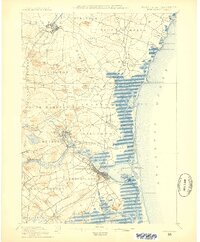
1888 · Newburyport
USGS Topo · 1:62,500
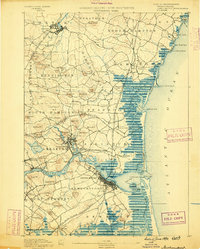
1890 · Newburyport
USGS Topo · 1:62,500
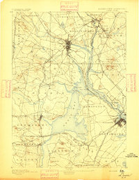
1893 · Dover
USGS Topo · 1:62,500
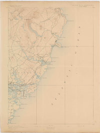
1893 · York
USGS Topo · 1:62,500
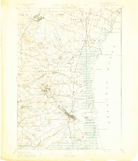
1894 · Newburyport
USGS Topo · 1:62,500
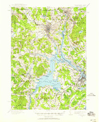
1916 · Dover
USGS Topo · 1:62,500
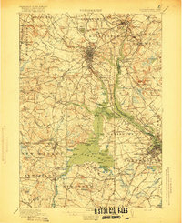
1918 · Dover
USGS Topo · 1:62,500
1920 · York
USGS Topo · 1:62,500
1932 · Newburyport
USGS Topo · 1:48,000
1934 · Exeter
USGS Topo · 1:62,500