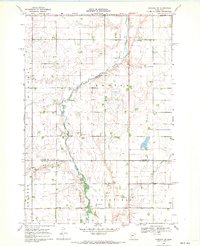
1968 Map of Hancock NW
USGS Topo · Published 1970About this map
The Pomme De Terre River meanders across this West Central Minnesota landscape, carving a distinct valley through the agricultural plains of Stevens Co and Swift Co. At the end of the 1960s, the region was defined by its townships, including Darnen, Horton, Hegbert, and Fairfield. Small cultural landmarks such as the Apostolic Ch and Zion Cem provide specific points of interest for genealogists tracing family histories in these rural communities. The infrastructure of the era is marked by the presence of a Townhall and the modification of the natural water system through the Judicial Ditch No 63, alongside smaller tributaries like Dry Wood Creek. Scattered Gravel Pit operations highlight the local extractive activity that supported the road networks connecting these prairie farmsteads.
Find a feature on this map
15 named features on this map. Tap any name to fly to it.
Don’t see what you’re looking for? This feature index may not catch every label — zoom into the map to look around manually.
Map Details
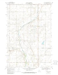
Editions of this 1968 Hancock NW Map
2 editions found
Other maps of this area

1910 · Chokio
USGS Topo · 1:62,500

1912 · Chokio
USGS Topo · 1:62,500

1912 · Morris
USGS Topo · 1:62,500

1953 · Milbank
USGS Topo · 1:250,000

1953 · Saint Cloud
USGS Topo · 1:250,000

1957 · Saint Cloud
USGS Topo · 1:250,000

1958 · Milbank
USGS Topo · 1:250,000

1958 · Saint Cloud
USGS Topo · 1:250,000

1968 · Dry Wood Lake
USGS Topo · 1:24,000

1968 · Lake Oliver
USGS Topo · 1:24,000