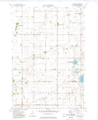
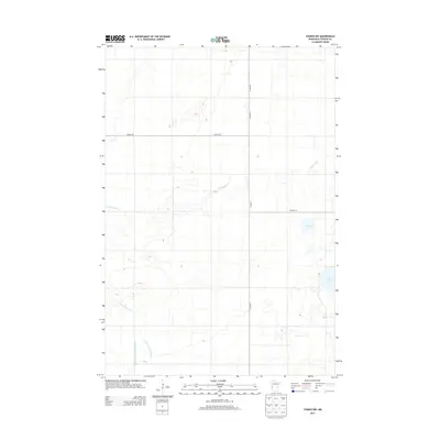
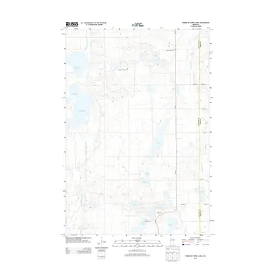
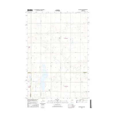
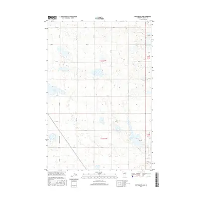
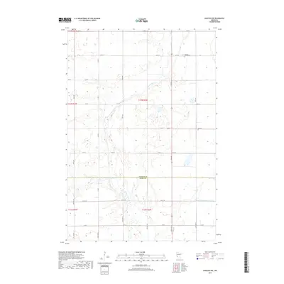
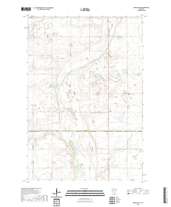
1968 Map of Hancock NW
USGS Topo · Published 1988About this map
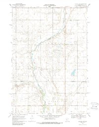
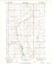
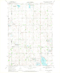
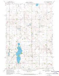
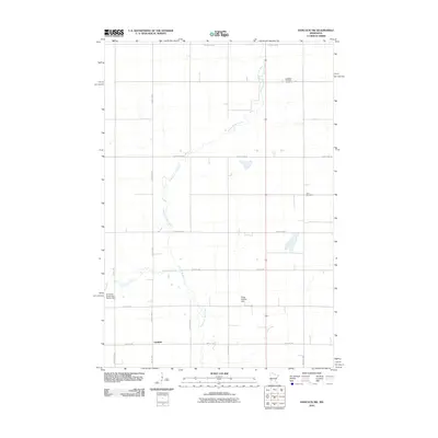
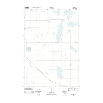
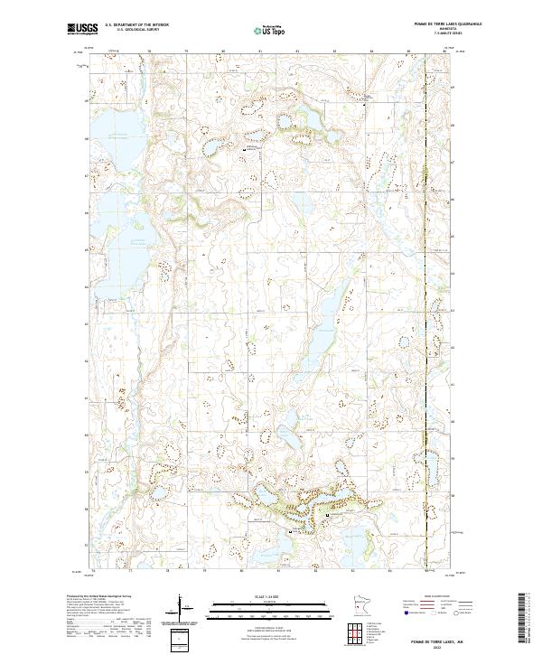
The Pomme De Terre River carves a winding path through the prairie landscape of western Minnesota, crossing the boundary between Stevens and Swift counties. This 1968 survey shows a rural environment defined by agricultural infrastructure, where the natural watercourses are supplemented by an extensive network of drainage channels like Judicial Ditch No 2 and Judicial Ditch No 63. These engineered waterways reflect the mid-century effort to manage the local watershed for farming efficiency.
Find a feature on this map
16 named features on this map. Tap any name to fly to it.
Don’t see what you’re looking for? This feature index may not catch every label — zoom into the map to look around manually.
Map Details
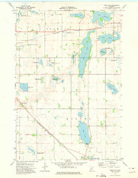
Editions of this 1968 Hancock NW Map
2 editions found
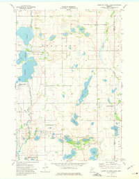
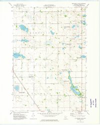
Historical Maps of Fairfield Through Time
42 maps found
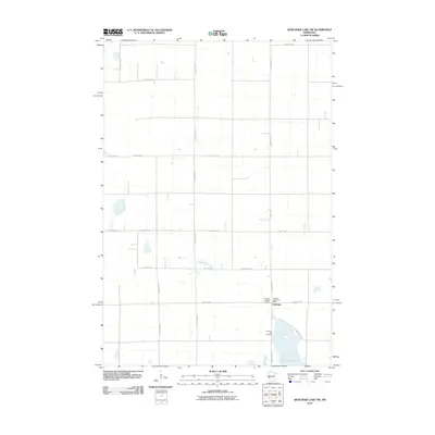
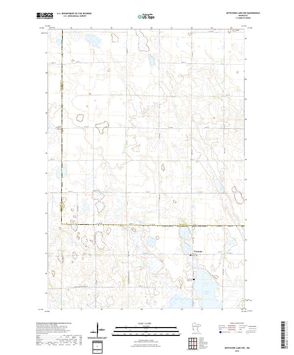
1968 Artichoke Lake NW
Stevens County, MN
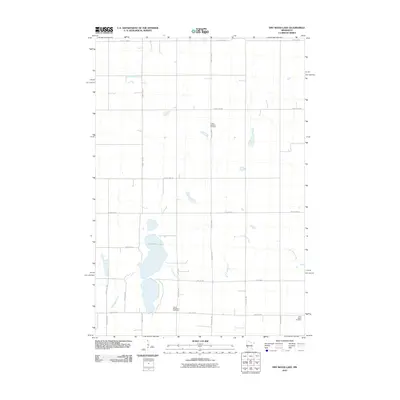
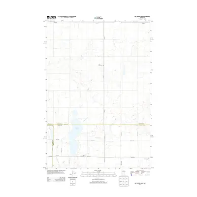
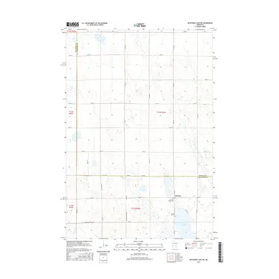
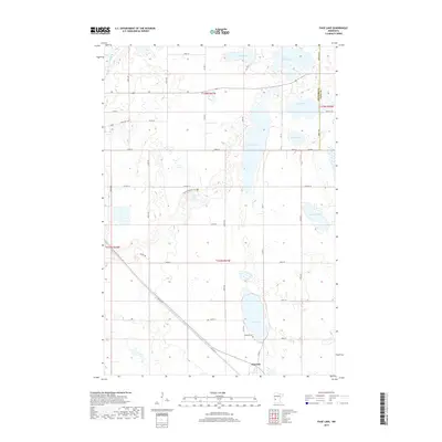
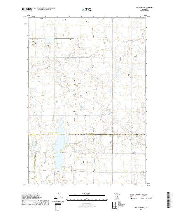
1968 Dry Wood Lake
Stevens County, MN
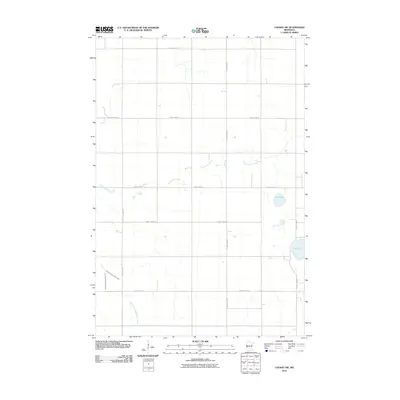
1968 Hancock NW
Stevens County, MN
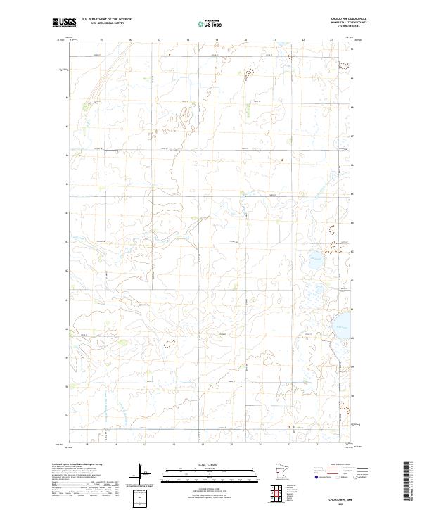
1973 Chokio NW
Stevens County, MN
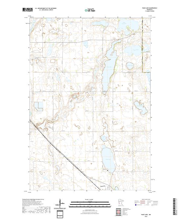
1973 Page Lake
Stevens County, MN
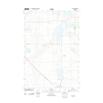
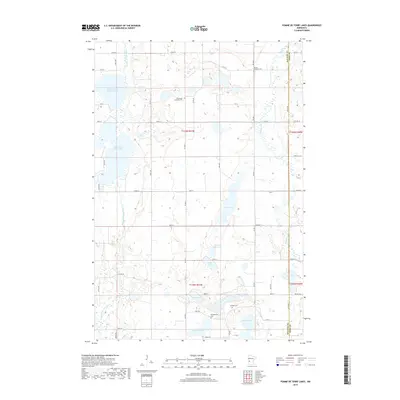
1973 Pomme De Terre Lakes
Stevens County, MN
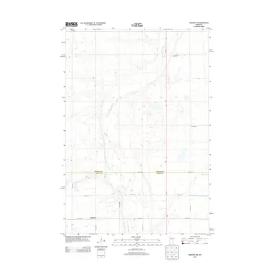
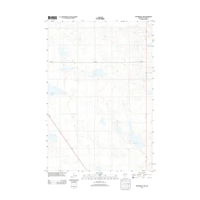
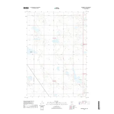
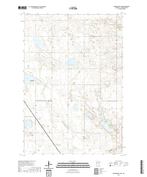
1973 Wintermute Lake
Stevens County, MN
2010 Artichoke Lake NW
Stevens County, MN
2010 Chokio NW
Stevens County, MN
2010 Dry Wood Lake
Stevens County, MN
2010 Hancock NW
Stevens County, MN
2010 Page Lake
Stevens County, MN
2010 Pomme De Terre Lakes
Stevens County, MN
2010 Wintermute Lake
Stevens County, MN
2013 Artichoke Lake NW
Stevens County, MN
2013 Chokio NW
Stevens County, MN
2013 Dry Wood Lake
Stevens County, MN
2013 Hancock NW
Stevens County, MN
2013 Page Lake
Stevens County, MN
2013 Pomme De Terre Lakes
Stevens County, MN
2013 Wintermute Lake
Stevens County, MN
2016 Artichoke Lake NW
Stevens County, MN
2016 Chokio NW
Stevens County, MN
2016 Dry Wood Lake
Stevens County, MN
2016 Hancock NW
Stevens County, MN
2016 Page Lake
Stevens County, MN
2016 Pomme De Terre Lakes
Stevens County, MN
2016 Wintermute Lake
Stevens County, MN
2019 Artichoke Lake NW
Stevens County, MN
2019 Chokio NW
Stevens County, MN
2019 Dry Wood Lake
Stevens County, MN
2019 Hancock NW
Stevens County, MN
2019 Page Lake
Stevens County, MN
2019 Pomme De Terre Lakes
Stevens County, MN
2019 Wintermute Lake
Stevens County, MN
2022 Artichoke Lake NW
Stevens County, MN
2022 Chokio NW
Stevens County, MN
2022 Dry Wood Lake
Stevens County, MN
2022 Hancock NW
Stevens County, MN
2022 Page Lake
Stevens County, MN
2022 Pomme De Terre Lakes
Stevens County, MN
2022 Wintermute Lake
Stevens County, MN