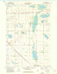
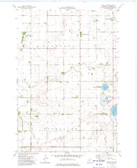
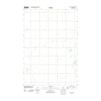
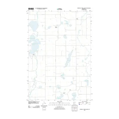
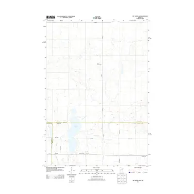
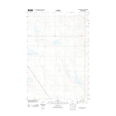
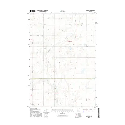
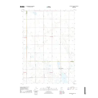
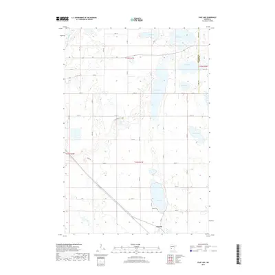
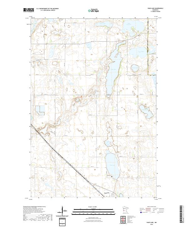
1973 Map of Page Lake
USGS Topo · Published 1975About this map
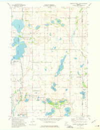
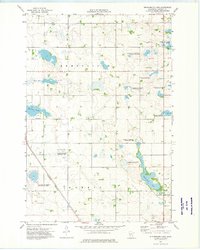
The town of Hancock sits at the southern edge of this West Central Minnesota landscape, defined by a complex chain of glacial lakes and prairie depressions. Moving north from the settlement, the Burlington Northern line cuts a diagonal path through the townships of Hodges and Framnas, passing by the waters of Page Lake and the elongated basin of Long Lake. The area is characterized by an extensive system of conservation lands, including the Selk State Wildlife Management Area and various waterfowl production sites, reflecting the region's importance for migratory birds.
Find a feature on this map
26 named features on this map. Tap any name to fly to it.
Don’t see what you’re looking for? This feature index may not catch every label — zoom into the map to look around manually.
Map Details
Editions of this 1973 Page Lake Map
This is the sole edition of this map. No revisions or reprints were ever made.
Historical Maps of Hancock Through Time
42 maps found
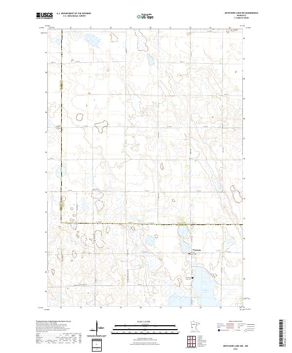
1968 Artichoke Lake NW
Stevens County, MN
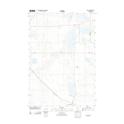
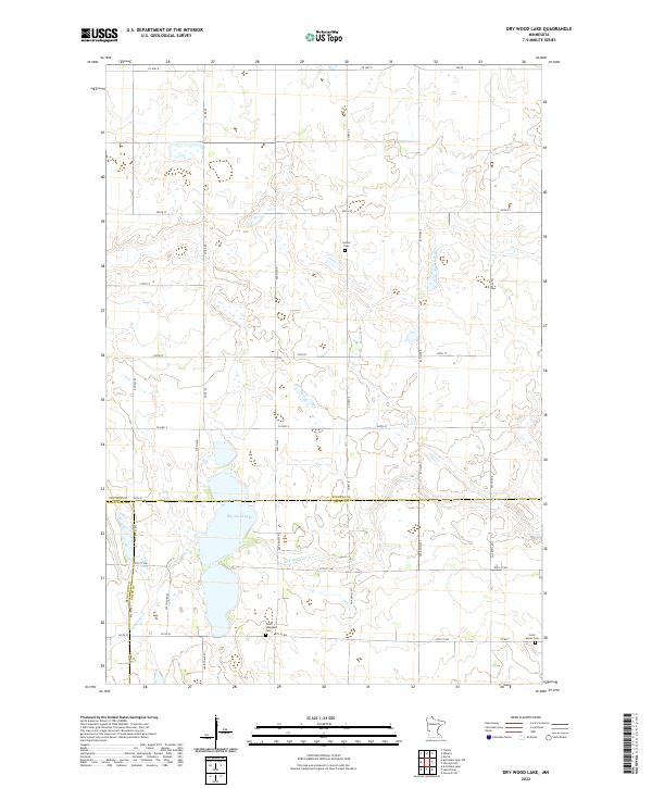
1968 Dry Wood Lake
Stevens County, MN
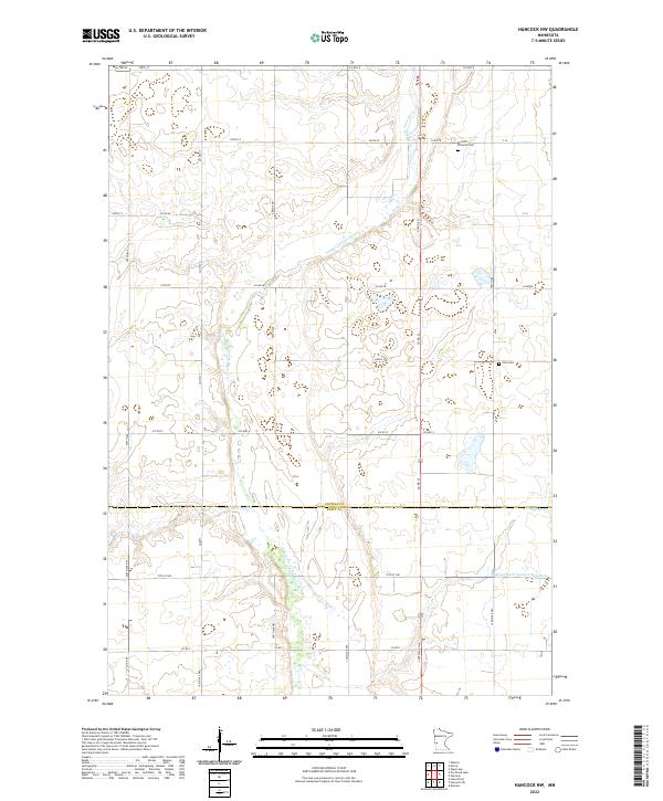
1968 Hancock NW
Stevens County, MN
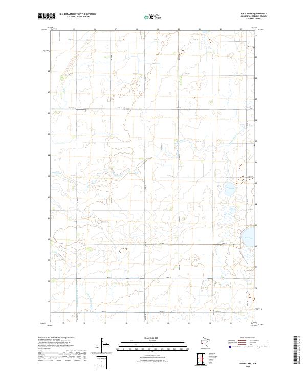
1973 Chokio NW
Stevens County, MN
1973 Page Lake
Stevens County, MN
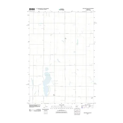
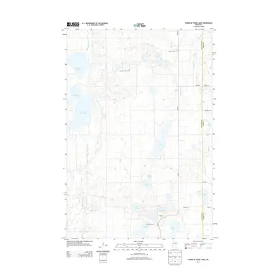
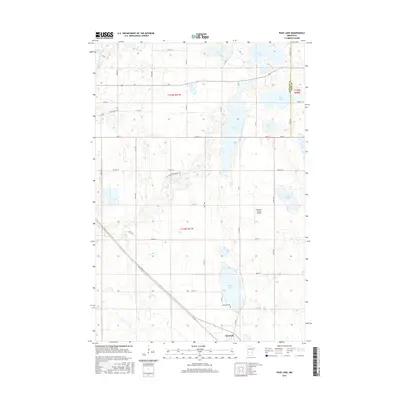
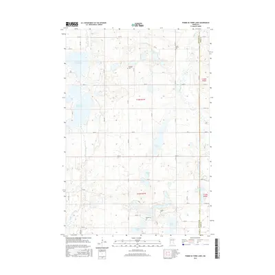
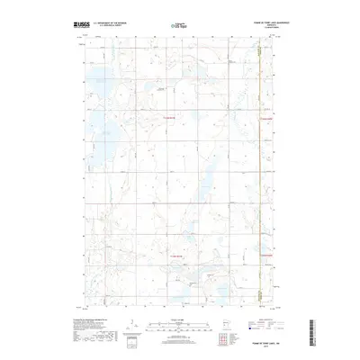
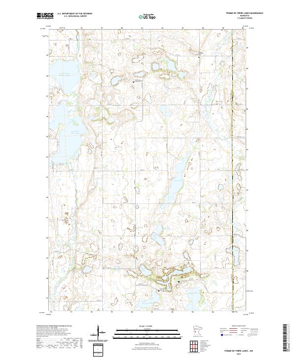
1973 Pomme De Terre Lakes
Stevens County, MN
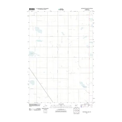
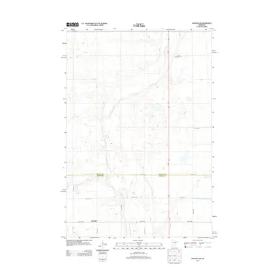
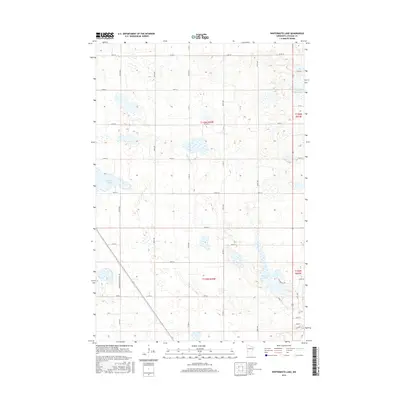
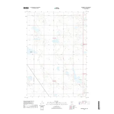
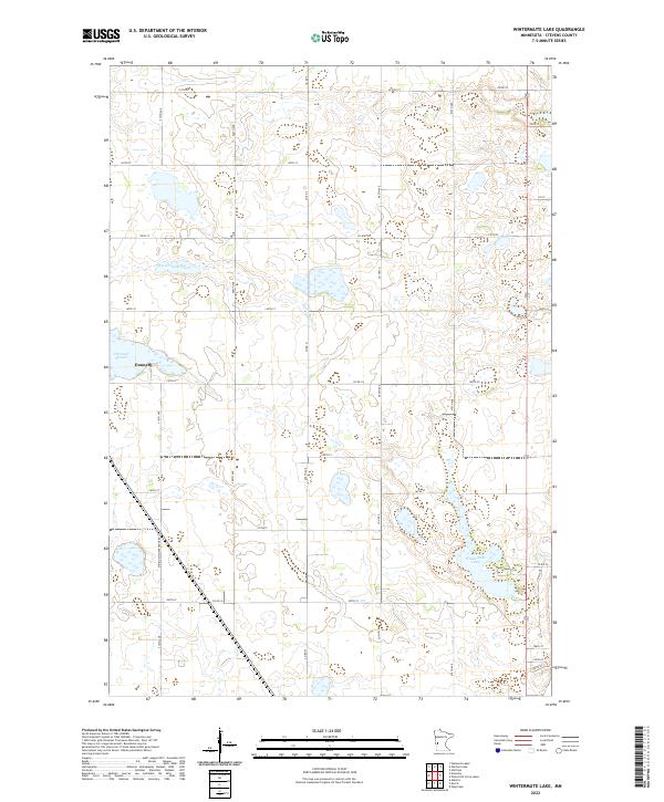
1973 Wintermute Lake
Stevens County, MN
2010 Artichoke Lake NW
Stevens County, MN
2010 Chokio NW
Stevens County, MN
2010 Dry Wood Lake
Stevens County, MN
2010 Hancock NW
Stevens County, MN
2010 Page Lake
Stevens County, MN
2010 Pomme De Terre Lakes
Stevens County, MN
2010 Wintermute Lake
Stevens County, MN
2013 Artichoke Lake NW
Stevens County, MN
2013 Chokio NW
Stevens County, MN
2013 Dry Wood Lake
Stevens County, MN
2013 Hancock NW
Stevens County, MN
2013 Page Lake
Stevens County, MN
2013 Pomme De Terre Lakes
Stevens County, MN
2013 Wintermute Lake
Stevens County, MN
2016 Artichoke Lake NW
Stevens County, MN
2016 Chokio NW
Stevens County, MN
2016 Dry Wood Lake
Stevens County, MN
2016 Hancock NW
Stevens County, MN
2016 Page Lake
Stevens County, MN
2016 Pomme De Terre Lakes
Stevens County, MN
2016 Wintermute Lake
Stevens County, MN
2019 Artichoke Lake NW
Stevens County, MN
2019 Chokio NW
Stevens County, MN
2019 Dry Wood Lake
Stevens County, MN
2019 Hancock NW
Stevens County, MN
2019 Page Lake
Stevens County, MN
2019 Pomme De Terre Lakes
Stevens County, MN
2019 Wintermute Lake
Stevens County, MN
2022 Artichoke Lake NW
Stevens County, MN
2022 Chokio NW
Stevens County, MN
2022 Dry Wood Lake
Stevens County, MN
2022 Hancock NW
Stevens County, MN
2022 Page Lake
Stevens County, MN
2022 Pomme De Terre Lakes
Stevens County, MN
2022 Wintermute Lake
Stevens County, MN