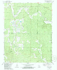
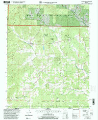
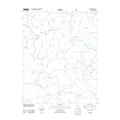
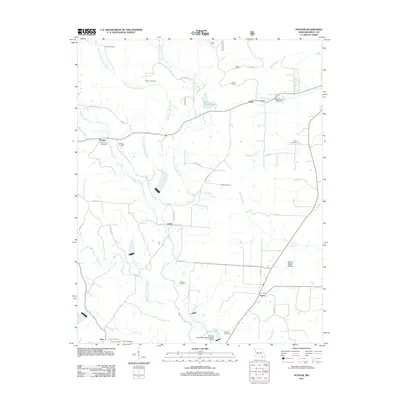
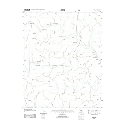
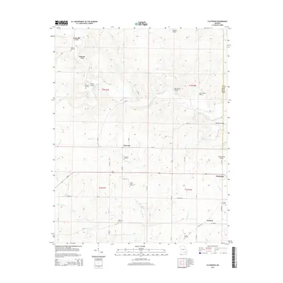
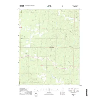
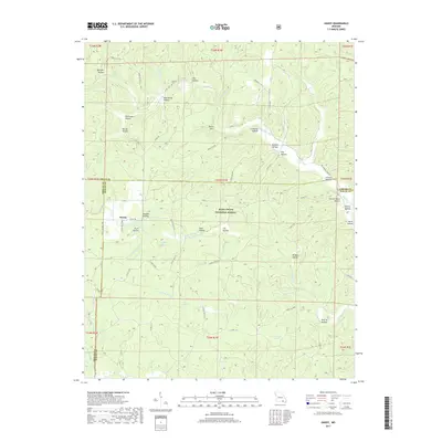
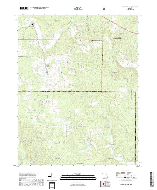
1968 Map of Handy
USGS Topo · Published 1970About this map
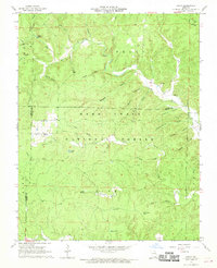
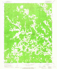
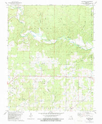
The Mark Twain National Forest dominates this Ozark landscape in the late 1960s, a region defined by complex drainage systems and isolated settlements. The community of Handy serves as a local anchor, centered around the Handy Ch near the junction of several forest hollows. The presence of the Tram road through the center of the forest suggests the area's history with timber extraction, cutting through the dense network of ridges and spring-fed basins.
Find a feature on this map
49 named features on this map. Tap any name to fly to it.
Don’t see what you’re looking for? This feature index may not catch every label — zoom into the map to look around manually.
Map Details
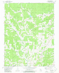
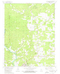
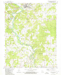
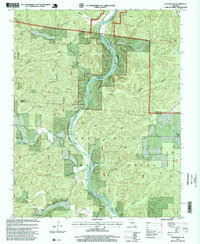
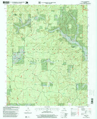
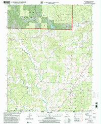
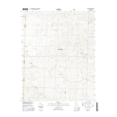
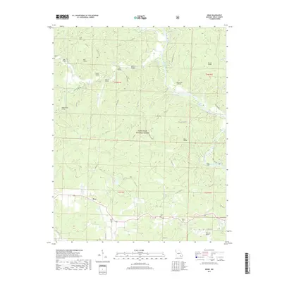
Editions of this 1968 Handy Map
3 editions found
Historical Maps of Handy Through Time
58 maps found
1935 Acorn
Ripley County, MO
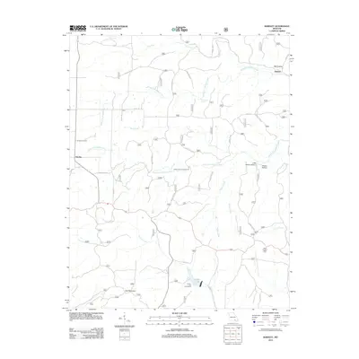
1965 Bardley
Ripley County, MO
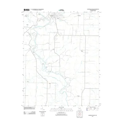
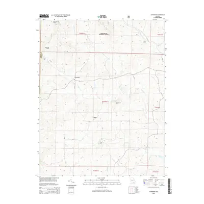
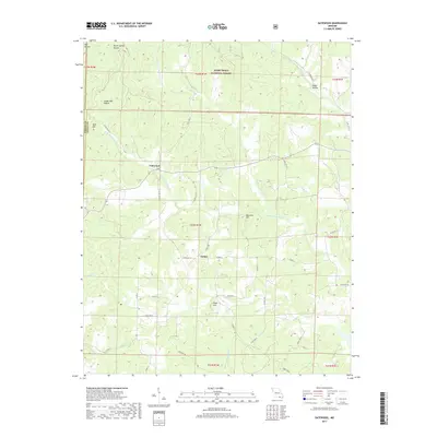
1965 Gatewood
Ripley County, MO
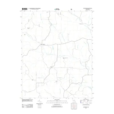
1968 Grandin SW
Ripley County, MO
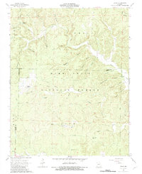
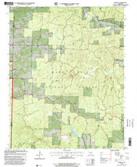
1968 Handy
Ripley County, MO
1979 Briar
Ripley County, MO
1979 Flatwoods
Ripley County, MO
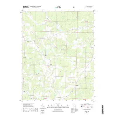
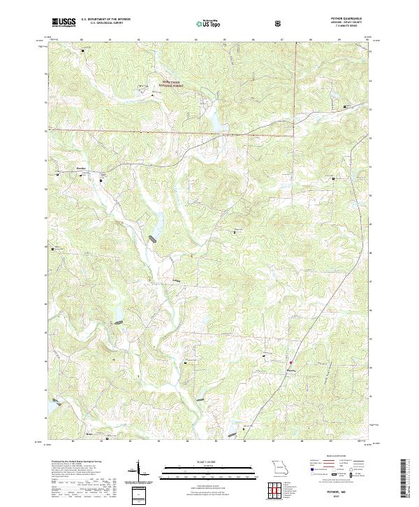
1979 Poynor
Ripley County, MO
1980 Doniphan North
Ripley County, MO
1980 Doniphan South
Ripley County, MO
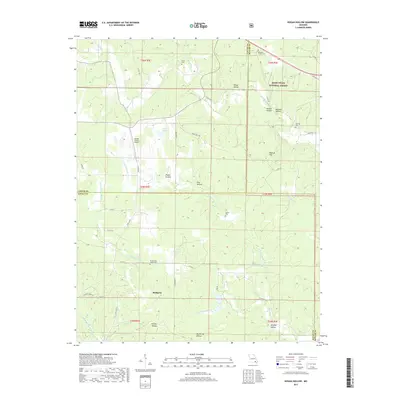
1980 Hogan Hollow
Ripley County, MO
1997 Bardley
Ripley County, MO
1997 Briar
Ripley County, MO
1997 Doniphan North
Ripley County, MO
1997 Gatewood
Ripley County, MO
1997 Grandin SW
Ripley County, MO
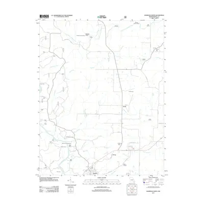
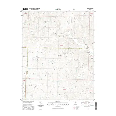
1997 Handy
Ripley County, MO
1997 Poynor
Ripley County, MO
2011 Briar
Ripley County, MO
2011 Doniphan North
Ripley County, MO
2011 Flatwoods
Ripley County, MO

2011 Grandin SW
Ripley County, MO
2011 Hogan Hollow
Ripley County, MO
2011 Poynor
Ripley County, MO
2012 Bardley
Ripley County, MO
2012 Doniphan South
Ripley County, MO
2012 Gatewood
Ripley County, MO
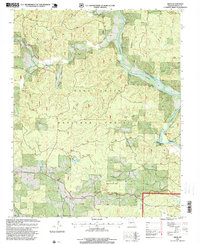
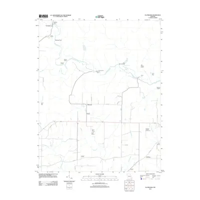
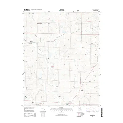
2012 Handy
Ripley County, MO
2015 Bardley
Ripley County, MO
2015 Briar
Ripley County, MO
2015 Doniphan North
Ripley County, MO

2015 Doniphan South
Ripley County, MO
2015 Flatwoods
Ripley County, MO
2015 Gatewood
Ripley County, MO

2015 Grandin SW
Ripley County, MO
2015 Handy
Ripley County, MO

2015 Hogan Hollow
Ripley County, MO
2015 Poynor
Ripley County, MO
2017 Bardley
Ripley County, MO
2017 Briar
Ripley County, MO
2017 Doniphan North
Ripley County, MO

2017 Doniphan South
Ripley County, MO
2017 Flatwoods
Ripley County, MO
2017 Gatewood
Ripley County, MO

2017 Grandin SW
Ripley County, MO
2017 Handy
Ripley County, MO
2017 Hogan Hollow
Ripley County, MO
2017 Poynor
Ripley County, MO
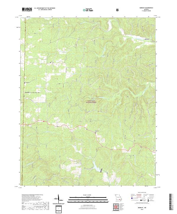
2021 Bardley
Ripley County, MO
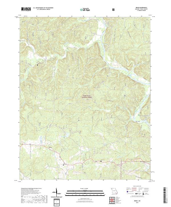
2021 Briar
Ripley County, MO
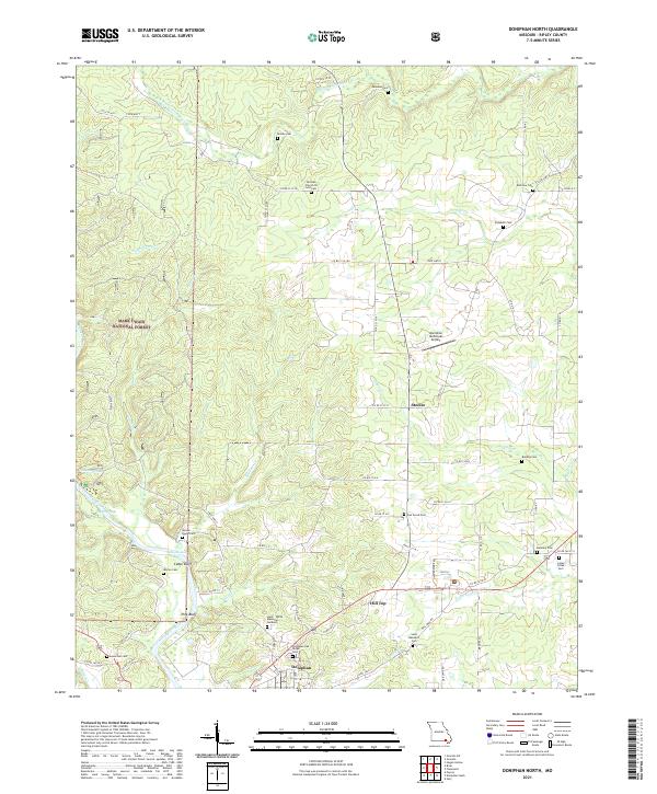
2021 Doniphan North
Ripley County, MO
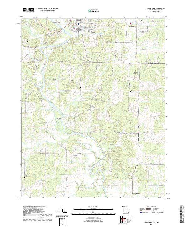
2021 Doniphan South
Ripley County, MO
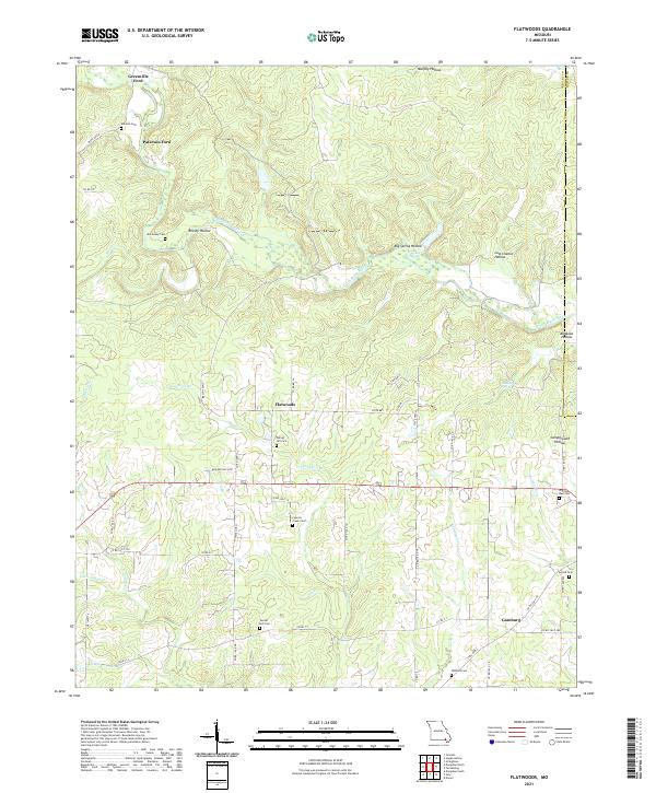
2021 Flatwoods
Ripley County, MO
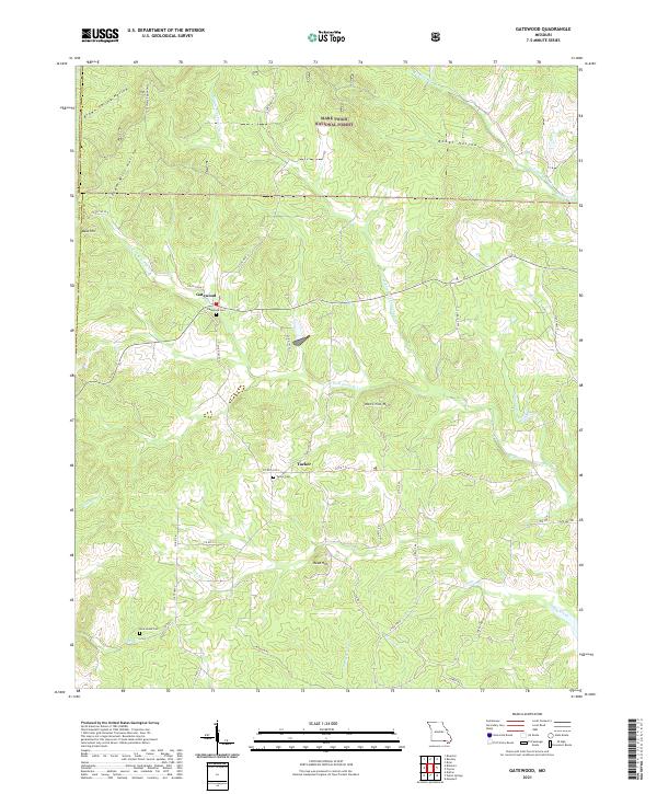
2021 Gatewood
Ripley County, MO
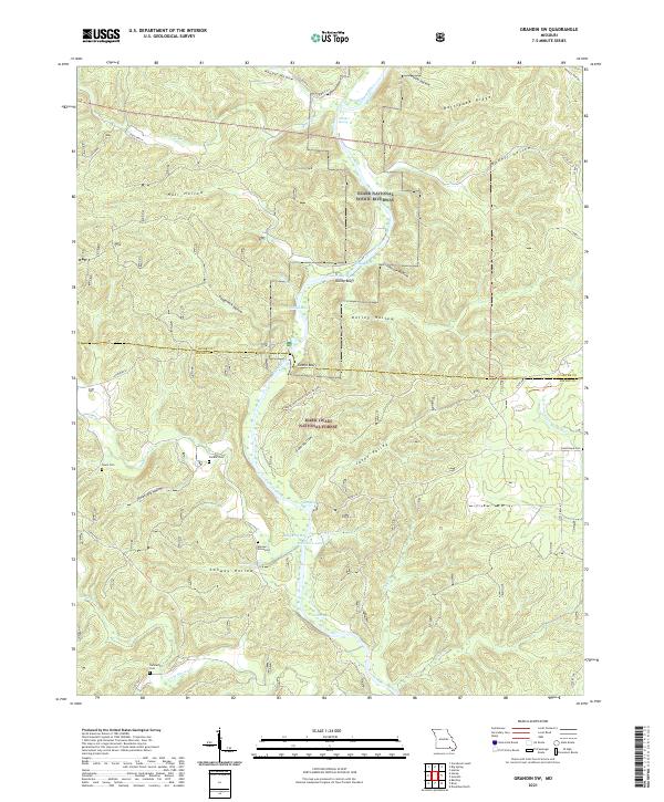
2021 Grandin SW
Ripley County, MO
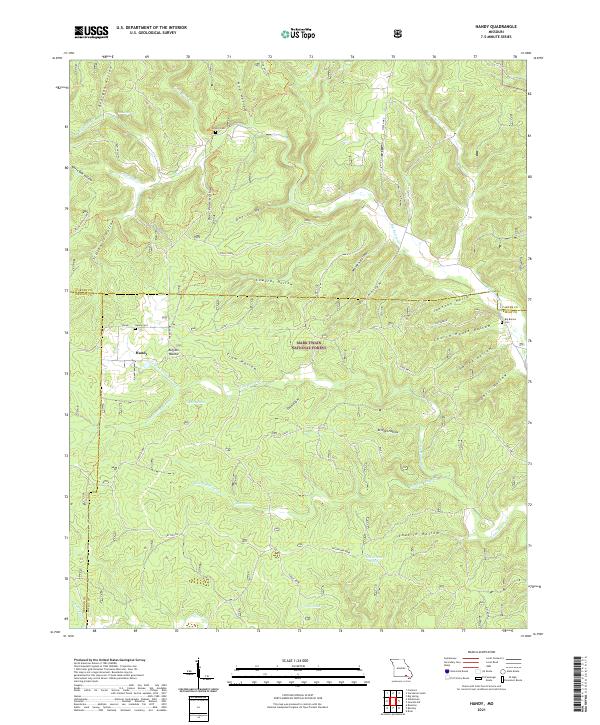
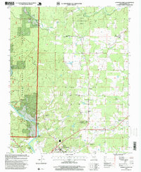
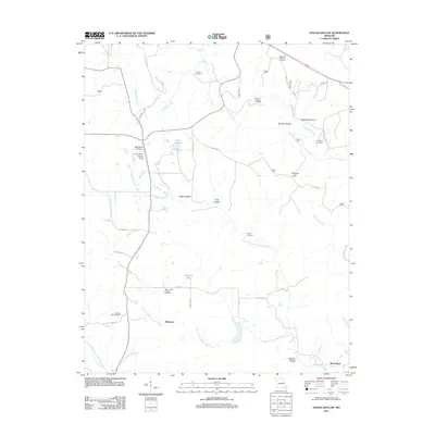
2021 Handy
Ripley County, MO
2021 Hogan Hollow
Ripley County, MO
2021 Poynor
Ripley County, MO