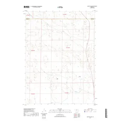
2017 Map of Happy Hollow
USGS Topo · Published 2017About this map
Happy Hollow and Green Valley characterize the topographic undulations of this Logan County landscape in 2017. The map reveals a remote section of the Nebraska Sandhills, where human presence is primarily marked by a grid of rural roads and section lines. Notable water features are sparse in this environment, with Brush Lake serving as a significant local landmark. The survey also traces the boundary where Thomas County meets Logan County, reflecting the political divisions of this ranching country.
Find a feature on this map
17 named features on this map. Tap any name to fly to it.
Don’t see what you’re looking for? This feature index may not catch every label — zoom into the map to look around manually.
Map Details
Editions of this 2017 Happy Hollow Map
This is the sole edition of this map. No revisions or reprints were ever made.
Other maps of this area

1948 · Thedford
USGS Topo · 1:62,500

1948 · Halsey
USGS Topo · 1:62,500

1949 · Cody Lake
USGS Topo · 1:62,500

1950 · Thedford
USGS Topo · 1:62,500

1950 · Halsey
USGS Topo · 1:62,500

1951 · Cody Lake
USGS Topo · 1:62,500

1951 · Hoagland
USGS Topo · 1:62,500

1954 · North Platte
USGS Topo · 1:250,000

1956 · North Platte
USGS Topo · 1:250,000

1957 · North Platte
USGS Topo · 1:250,000