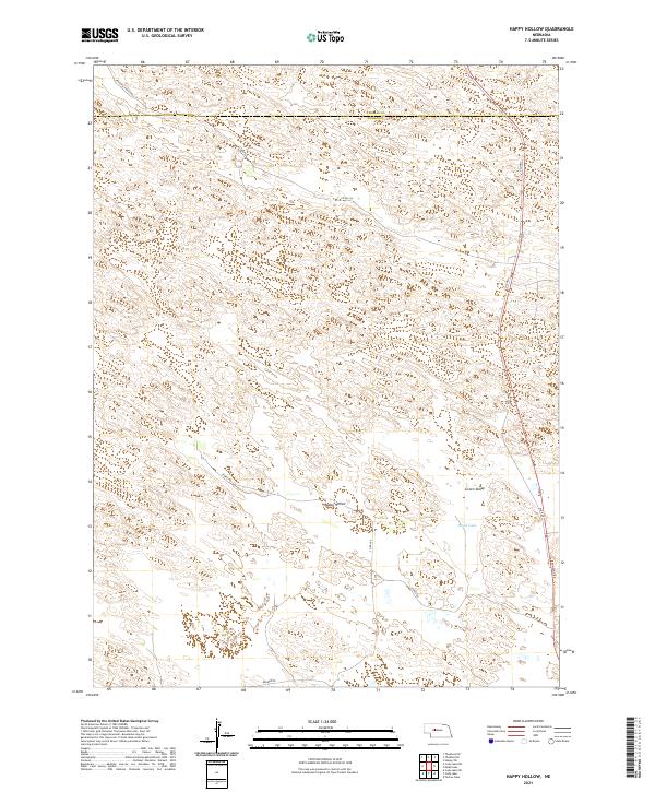
2021 Map of Happy Hollow
USGS Topo · Published 2021About this map
Green Valley and the namesake Happy Hollow define the undulating landscape of this section of the Nebraska Sandhills. Situated primarily in Logan County with a northern boundary crossing into Thomas County, the area is characterized by scattered natural basins and depressions, including Brush Lake in the southeast. The survey details a network of rural routes that navigate the terrain, such as Sturtz Rd and Peaceful Plains Rd.
Find a feature on this map
17 named features on this map. Tap any name to fly to it.
Don’t see what you’re looking for? This feature index may not catch every label — zoom into the map to look around manually.
Map Details
Editions of this 2021 Happy Hollow Map
This is the sole edition of this map. No revisions or reprints were ever made.
Other maps of this area

1948 · Thedford
USGS Topo · 1:62,500

1948 · Halsey
USGS Topo · 1:62,500

1949 · Cody Lake
USGS Topo · 1:62,500

1950 · Thedford
USGS Topo · 1:62,500

1950 · Halsey
USGS Topo · 1:62,500

1951 · Cody Lake
USGS Topo · 1:62,500

1951 · Hoagland
USGS Topo · 1:62,500

1954 · North Platte
USGS Topo · 1:250,000

1956 · North Platte
USGS Topo · 1:250,000

1957 · North Platte
USGS Topo · 1:250,000