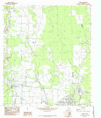
1984 Map of Hardin
USGS Topo · Published 1985About this map
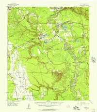
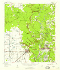
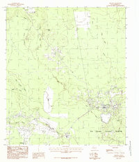
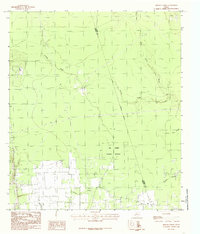
Hardin and Hull anchor this mid-1980s landscape, where the flat coastal plains of East Texas are defined by a complex network of bayous and prairies. The map details an area heavily shaped by the energy industry, with an extensive Oil and Gas Field and a prominent Gas Field situated near Daisetta. This industrial activity exists alongside natural features like the Daisetta Swamp and the broad, open stretches of Batiste Prairie and Mayhaw Prairie.
Find a feature on this map
23 named features on this map. Tap any name to fly to it.
Don’t see what you’re looking for? This feature index may not catch every label — zoom into the map to look around manually.
Map Details
Editions of this 1984 Hardin Map
This is the sole edition of this map. No revisions or reprints were ever made.
Other maps of this area
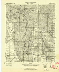
1943 · Liberty
USGS Topo · 1:125,000

1954 · Beaumont
USGS Topo · 1:250,000
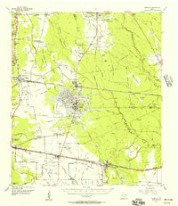
1955 · Daisetta
USGS Topo · 1:62,500
1955 · Saratoga
USGS Topo · 1:62,500
1955 · Rayburn
USGS Topo · 1:62,500
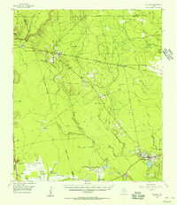
1955 · Liberty
USGS Topo · 1:62,500

1957 · Beaumont
USGS Topo · 1:250,000

1984 · Beaumont
USGS Topo · 1:250,000
1984 · Saratoga
USGS Topo · 1:24,000
1984 · Arizona Creek
USGS Topo · 1:24,000