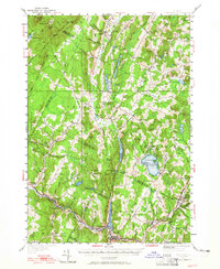
1951 Map of Hardwick
USGS Topo · Published 1965About this map
St Johnsbury and Lamoille County Railroad traces the southern valley of this mid-century Vermont landscape, following the Lamoille River through the industrial and agricultural centers of Hardwick and Greensboro Bend. The terrain is defined by the prominent Lowell Mountains and a series of elongated glacial bodies of water, including Eligo Pond and the expansive Caspian Lake. The settlement pattern reveals the historic importance of high-ground commons and valley mills, with distinct villages like Craftsbury Common and Albany Center serving as local hubs.
Find a feature on this map
100 named features on this map. Tap any name to fly to it.
Don’t see what you’re looking for? This feature index may not catch every label — zoom into the map to look around manually.
Map Details
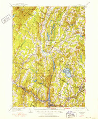
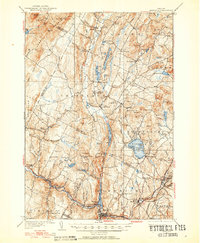
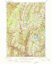
Editions of this 1951 Hardwick Map
4 editions found
Other maps of this area

1919 · Lake Memphremagog
USGS Topo · 1:62,500

1919 · Montgomery
USGS Topo · 1:62,500

1919 · Montpelier
USGS Topo · 1:62,500

1920 · Montgomery
USGS Topo · 1:62,500

1920 · Derby
USGS Topo · 1:62,500

1920 · Irasburg
USGS Topo · 1:62,500

1921 · Montpelier
USGS Topo · 1:62,500

1923 · Irasburg
USGS Topo · 1:48,000

1923 · Lake Memphremagog
USGS Topo · 1:48,000

1925 · Irasburg
USGS Topo · 1:62,500