
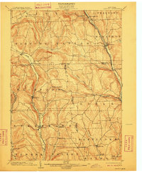
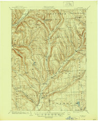
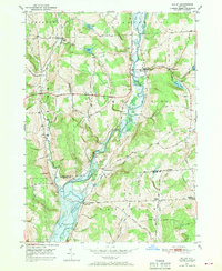
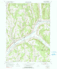
1903 Map of Harford
USGS Topo · Published 1903This historical map portrays the area of Harford in 1903, primarily covering Cortland County as well as portions of Tioga County, Broome County, and Tompkins County. Featuring a scale of 1:62500, this map provides a highly detailed snapshot of the terrain, roads, buildings, counties, and historical landmarks in the Harford region at the time. Published in 1903, it is one of 5 known editions of this map due to revisions or reprints.
Find a feature on this map
52 named features on this map. Tap any name to fly to it.
Don’t see what you’re looking for? This feature index may not catch every label — zoom into the map to look around manually.
Map Details
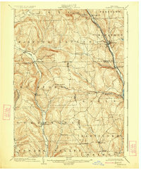
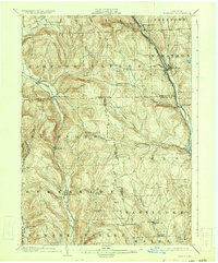
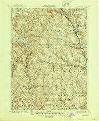
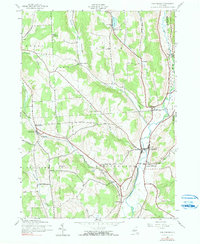
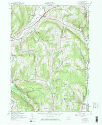
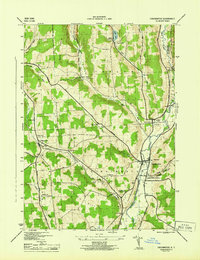
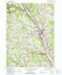
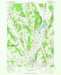
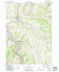
Editions of this 1903 Harford Map
5 editions found
Historical Maps of Glen Aubrey Through Time
19 maps found
1903 Harford
Cortland County, NY
1904 Pitcher
Cortland County, NY
1943 Cincinnatus
Cortland County, NY
1943 Cuyler
Cortland County, NY
1944 Cincinnatus
Cortland County, NY

1944 Cuyler
Cortland County, NY

1944 Homer
Cortland County, NY

1944 Mc Graw
Cortland County, NY

1944 Truxton
Cortland County, NY

1949 Harford
Cortland County, NY
1949 Willet
Cortland County, NY
1950 Marathon
Cortland County, NY

1951 Harford
Cortland County, NY

1951 Willet
Cortland County, NY
1955 Homer
Cortland County, NY
1955 Mc Graw
Cortland County, NY
1955 Truxton
Cortland County, NY
1976 Harford
Cortland County, NY

1978 Homer
Cortland County, NY