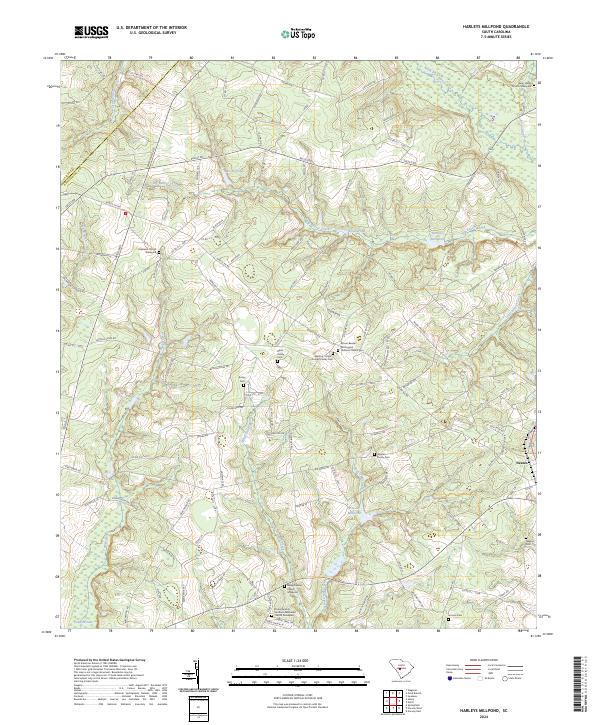
2024 Map of Harleys Millpond
USGS Topo · Published 2024About this map
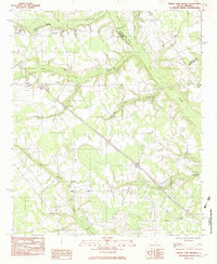
Big Beaver Creek and its many tributaries carve through this section of Orangeburg County, defining a landscape shaped by water and small-scale milling. Named water bodies like Harleys Millpond, Moods Pond, and Priester Millpond suggest a history of local industry along the drainages of Rocky Swamp Creek and Bolen Mill Creek. The area is characterized by a dense network of family-named roads and landmarks, reflecting long-standing rural settlement patterns near the town of Neeses.
Find a feature on this map
115 named features on this map. Tap any name to fly to it.
Don’t see what you’re looking for? This feature index may not catch every label — zoom into the map to look around manually.
Map Details
Editions of this 2024 Harleys Millpond Map
This is the sole edition of this map. No revisions or reprints were ever made.
Historical Maps of Aiken County Through Time
28 maps found
1979 Midway
Orangeburg County, SC
1979 Norway East
Orangeburg County, SC
1979 Norway West
Orangeburg County, SC
1979 Sandridge
Orangeburg County, SC
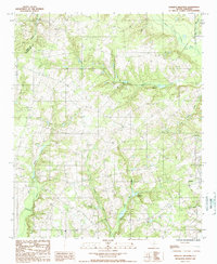
1982 Branchville North
Orangeburg County, SC
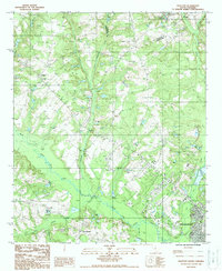
1982 Branchville South
Orangeburg County, SC
1982 Felderville
Orangeburg County, SC
1982 Indian Camp Branch
Orangeburg County, SC
1982 Orangeburg South
Orangeburg County, SC
1982 Wadboo Swamp
Orangeburg County, SC

1985 Saint George
Orangeburg County, SC
1987 Orangeburg North
Orangeburg County, SC
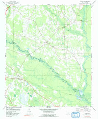
1988 Harleys Millpond
Orangeburg County, SC
1988 Wolfton
Orangeburg County, SC

1990 Saint George
Orangeburg County, SC
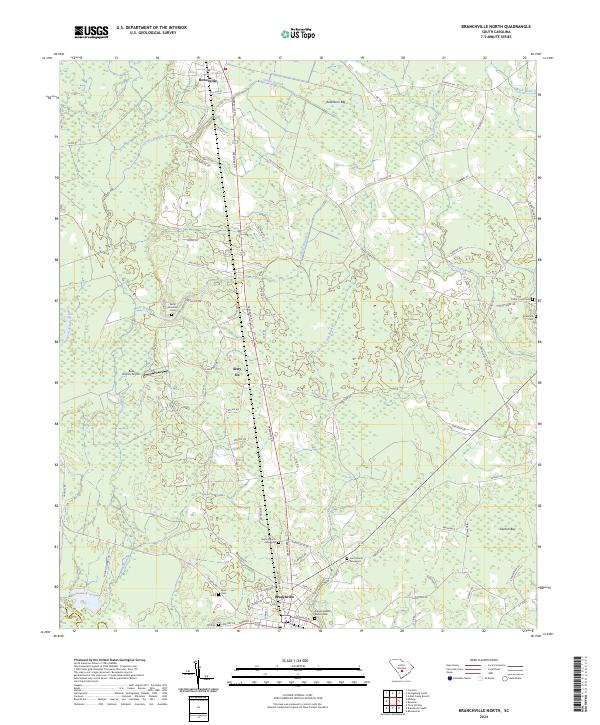
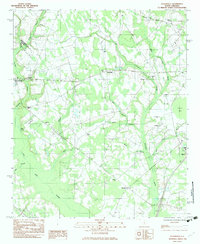
2024 Branchville North
Orangeburg County, SC
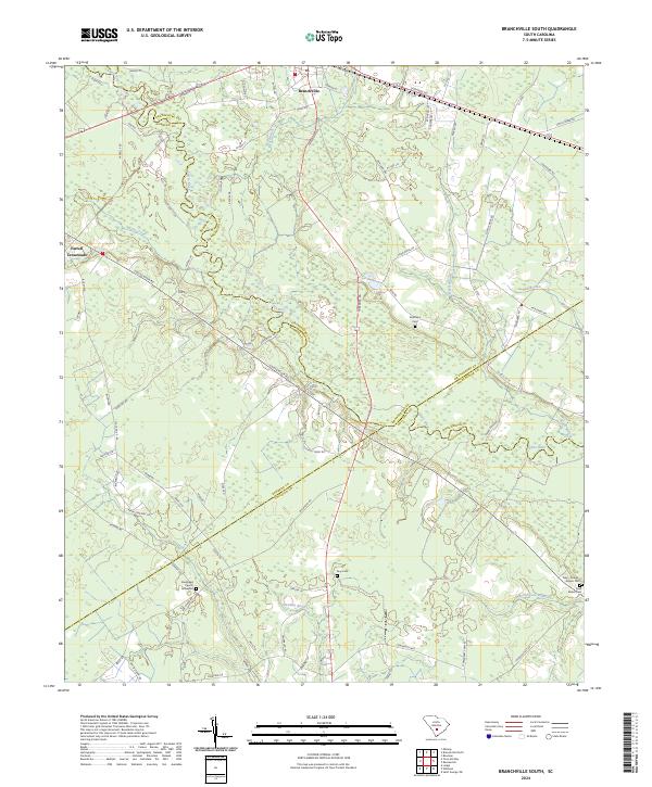
2024 Branchville South
Orangeburg County, SC
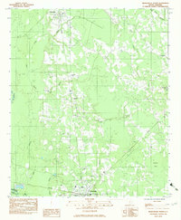
2024 Felderville
Orangeburg County, SC
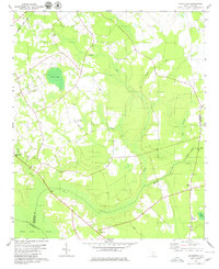
2024 Harleys Millpond
Orangeburg County, SC
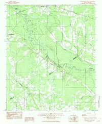
2024 Indian Camp Branch
Orangeburg County, SC
2024 Midway
Orangeburg County, SC
2024 Norway East
Orangeburg County, SC
2024 Norway West
Orangeburg County, SC
2024 Orangeburg North
Orangeburg County, SC
2024 Orangeburg South
Orangeburg County, SC
2024 Sandridge
Orangeburg County, SC
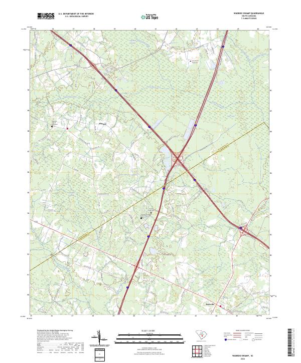
2024 Wadboo Swamp
Orangeburg County, SC
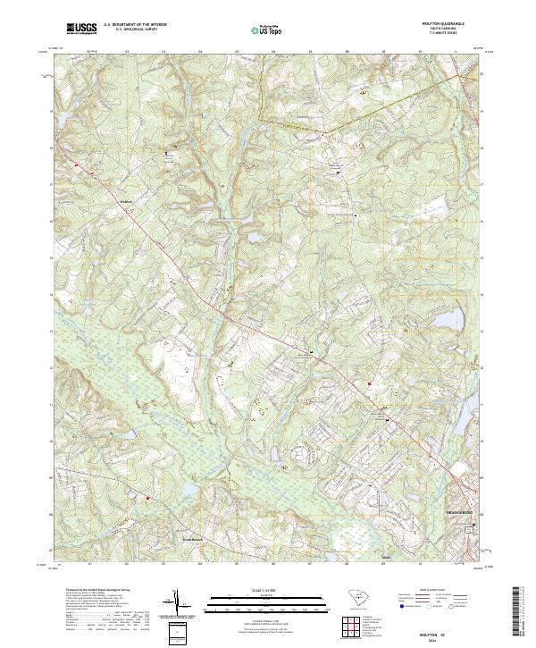
2024 Wolfton
Orangeburg County, SC