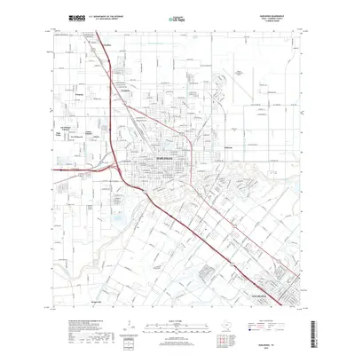
2019 Map of Harlingen
USGS Topo · Published 2019About this map
The industrial and transportation network of the Rio Grande Valley is defined here by the confluence of major highways and a complex irrigation system. Harlingen and San Benito dominate the southeastern corridor, connected by the high-volume routes of US Highway 77 and 83. The landscape is segmented by an extensive network of waterways essential to regional agriculture, including the Harlingen Main Canal, Line V Canal, and numerous numbered channels like Number Seven Canal.
Find a feature on this map
366 named features on this map. Tap any name to fly to it.
Don’t see what you’re looking for? This feature index may not catch every label — zoom into the map to look around manually.
Map Details
Editions of this 2019 Harlingen Map
This is the sole edition of this map. No revisions or reprints were ever made.
Other maps of this area

1929 · Rio Hondo
USGS Topo · 1:24,000

1929 · Harlingen
USGS Topo · 1:24,000

1929 · Santa Rosa
USGS Topo · 1:24,000

1929 · Santa Maria
USGS Topo · 1:24,000

1929 · La Feria
USGS Topo · 1:24,000

1929 · La Paloma
USGS Topo · 1:24,000

1930 · Barreda
USGS Topo · 1:24,000

1932 · Combes
USGS Topo · 1:31,680

1932 · Rio Hondo
USGS Topo · 1:31,680

1932 · Harlingen
USGS Topo · 1:31,680