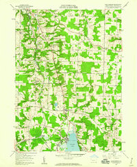
1959 Map of Harmonsburg
USGS Topo · Published 1960About this map
Conneaut Lake anchors the southern portion of this landscape, its northern shoreline developed with the Conneaut Lake Park amusement area and the nearby community of Oakland Beach. The region's transport history is visible in the corridor of the Bessemer and Lake Erie railroad, which passes through Meadville Junction and near the path of the Bessemer and Lake Erie Extension Canal. Small agricultural settlements like Harmonsburg and Dicksonburg are distributed across the township lands of Summerhill and Summit. Genealogists will find numerous family-named burial sites, including McDowell Cem and Jolly Cem. The terrain is marked by a network of creeks, such as Conneaut Creek and Fish Creek, alongside several Gravel Pits that suggest the local glacial geology and industry of the mid-twentieth century.
Find a feature on this map
34 named features on this map. Tap any name to fly to it.
Don’t see what you’re looking for? This feature index may not catch every label — zoom into the map to look around manually.
Map Details
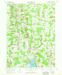
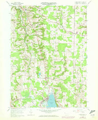
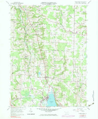
Editions of this 1959 Harmonsburg Map
4 editions found
Other maps of this area

1900 · Girard
USGS Topo · 1:62,500

1906 · Linesville
USGS Topo · 1:62,500

1908 · Linesville
USGS Topo · 1:62,500

1923 · Meadville
USGS Topo · 1:62,500

1923 · Cambridge Springs
USGS Topo · 1:62,500

1925 · Meadville
USGS Topo · 1:62,500

1925 · Cambridge Springs
USGS Topo · 1:62,500

1943 · Meadville
USGS Topo · 1:62,500

1943 · Cambridge Springs
USGS Topo · 1:62,500

1950 · Cleveland
USGS Topo · 1:250,000