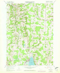
1959 Map of Harmonsburg
USGS Topo · Published 1972About this map
Harmonsburg and the northern shores of Conneaut Lake anchor this mid-century portrait of Crawford County, where the landscape is defined by the heavy infrastructure of the Bessemer and Lake Erie railroad. The rail line cuts a prominent diagonal across the terrain, serving key points like Meadville Junction and Dicksonburg. Near the southern edge, the recreational character of the region is evident at Conneaut Lake Park and the Oakland Beach Golf Course, illustrating the area's transition from purely agricultural and industrial uses to a summer destination.
Find a feature on this map
30 named features on this map. Tap any name to fly to it.
Don’t see what you’re looking for? This feature index may not catch every label — zoom into the map to look around manually.
Map Details
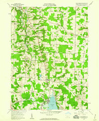
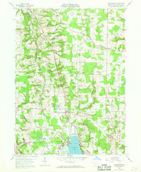
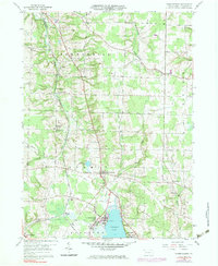
Editions of this 1959 Harmonsburg Map
4 editions found
Other maps of this area

1900 · Girard
USGS Topo · 1:62,500

1906 · Linesville
USGS Topo · 1:62,500

1908 · Linesville
USGS Topo · 1:62,500

1923 · Meadville
USGS Topo · 1:62,500

1923 · Cambridge Springs
USGS Topo · 1:62,500

1925 · Meadville
USGS Topo · 1:62,500

1925 · Cambridge Springs
USGS Topo · 1:62,500

1943 · Meadville
USGS Topo · 1:62,500

1943 · Cambridge Springs
USGS Topo · 1:62,500

1950 · Cleveland
USGS Topo · 1:250,000