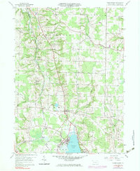
1959 Map of Harmonsburg
USGS Topo · Published 1983About this map
Conneaut Lake and its northern recreational shores at Conneaut Lake Park anchor this survey of Crawford County’s glacial landscape. The western edge is defined by the heavy rail infrastructure of the Bessemer and Lake Erie railroad and the Lake Erie Extension, which meet near the cluster of tracks at Meadville Junction. This corridor supported several rural centers including Dicksonburg and Shermansville, while smaller crossroads like Fish Corners and Chestnut Corners highlight the historical settlement pattern of the surrounding agricultural townships.
Find a feature on this map
39 named features on this map. Tap any name to fly to it.
Don’t see what you’re looking for? This feature index may not catch every label — zoom into the map to look around manually.
Map Details
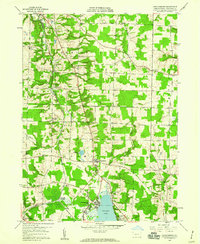
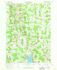
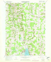
Editions of this 1959 Harmonsburg Map
4 editions found
Other maps of this area

1900 · Girard
USGS Topo · 1:62,500

1906 · Linesville
USGS Topo · 1:62,500

1908 · Linesville
USGS Topo · 1:62,500

1923 · Meadville
USGS Topo · 1:62,500

1923 · Cambridge Springs
USGS Topo · 1:62,500

1925 · Meadville
USGS Topo · 1:62,500

1925 · Cambridge Springs
USGS Topo · 1:62,500

1943 · Meadville
USGS Topo · 1:62,500

1943 · Cambridge Springs
USGS Topo · 1:62,500

1950 · Cleveland
USGS Topo · 1:250,000