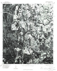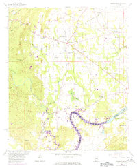
1958 Map of Harpersville
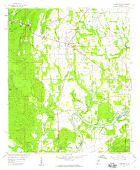
USGS Topo · Published 1973About this map
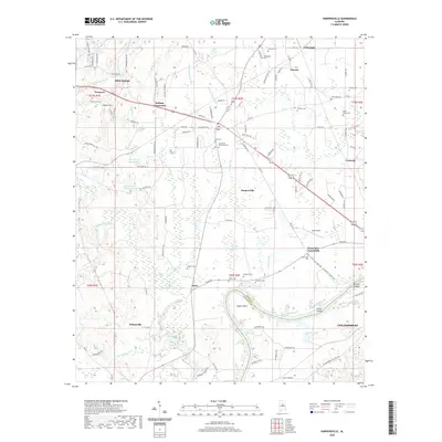
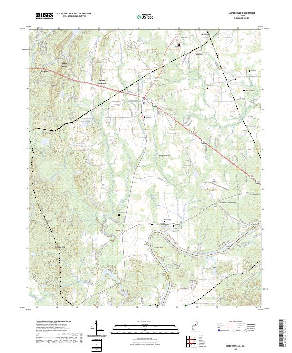
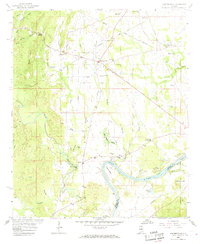
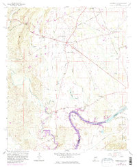
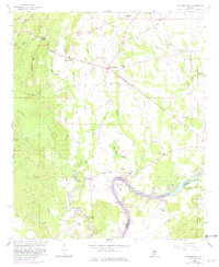
Harpersville and Childersburg anchor this topographical study of the Shelby and Talladega County line, where the Coosa River forms a wide, sweeping arc at Cosper Bend. The landscape is a complex network of water and rail, with the Seaboard railroad and the Florida Short Route cutting across the terrain. Local genealogy is well-preserved through numerous rural landmarks like Abbot Springs, Gallups Crossroads, and Chancellor Crossroads. The map reveals the era's religious and social centers, including Mt Olive Ch, Providence Ch, and Klein Ch. Industrial activity is marked by a Strip Mine and several gravel pits, while the river's flow is captured just before it enters Lay Lake, reflecting the hydrological management of mid-century Alabama.
Find a feature on this map
53 named features on this map. Tap any name to fly to it.
Don’t see what you’re looking for? This feature index may not catch every label — zoom into the map to look around manually.
Map Details
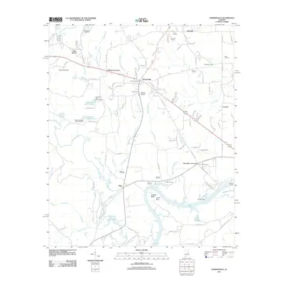
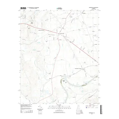
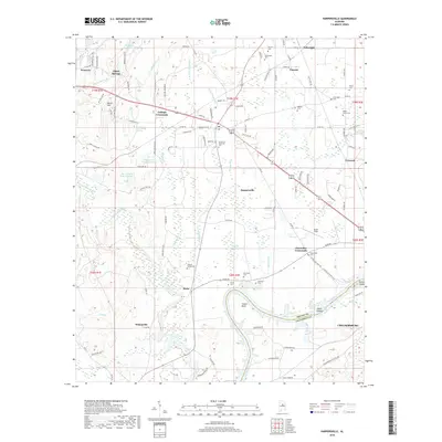
Editions of this 1958 Harpersville Map
5 editions found
Historical Maps of Childersburg Through Time
7 maps found