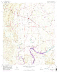
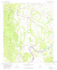
1958 Map of Harpersville
USGS Topo · Published 1981About this map
Harpersville and Childersburg anchor this mid-century survey of the Shelby Co Talladega Co border, a landscape shaped by the winding Coosa River and the expanding Lay Reservoir Lake. The map reveals a transition from traditional river crossings and small farming hubs like Gallups Crossroads to an era of infrastructure development, marked by the Pipeline and the Seaboard Coast Line railroad.
Find a feature on this map
52 named features on this map. Tap any name to fly to it.
Don’t see what you’re looking for? This feature index may not catch every label — zoom into the map to look around manually.
Map Details
Editions of this 1958 Harpersville Map
5 editions found
Other maps of this area

1890 · Bessemer
USGS Topo · 1:125,000

1890 · Talladega
USGS Topo · 1:125,000

1892 · Talladega
USGS Topo · 1:125,000

1892 · Bessemer
USGS Topo · 1:125,000

1906 · Vandiver
USGS Topo · 1:62,500

1908 · Vandiver
USGS Topo · 1:62,500

1909 · Columbiana
USGS Topo · 1:62,500

1911 · Columbiana
USGS Topo · 1:62,500

1915 · Gantts Quarry
USGS Topo · 1:48,000

1917 · Gantts Quarry
USGS Topo · 1:62,500