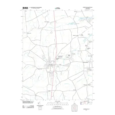
2011 Map of Harrington
USGS Topo · Published 2011About this map
Harrington serves as the central hub of this Kent County landscape, where the Delaware State Fairgrounds and the Harrington Post Office mark the town's social and civic heart. The surrounding countryside is a network of small residential clusters and agricultural crossings, including Reeves Crossing, Mastens Corner, and Melvins Crossroads. This era of development is characterized by numerous modern residential subdivisions such as Warrington Manor, Argos Choice, and Bloomfield Acres, which weave between established natural drainages like Browns Branch and Black Swamp Creek.
Find a feature on this map
90 named features on this map. Tap any name to fly to it.
Don’t see what you’re looking for? This feature index may not catch every label — zoom into the map to look around manually.
Map Details
Editions of this 2011 Harrington Map
This is the sole edition of this map. No revisions or reprints were ever made.
Other maps of this area

1899 · Vineland
USGS Topo · 1:125,000

1899 · Dover
USGS Topo · 1:125,000

1906 · Dover
USGS Topo · 1:125,000

1918 · Cedar Creek
USGS Topo · 1:62,500

1918 · Harrington
USGS Topo · 1:62,500

1919 · Cedar Creek
USGS Topo · 1:62,500

1919 · Vineland
USGS Topo · 1:125,000

1920 · Dover
USGS Topo · 1:125,000

1926 · Wyoming
USGS Topo · 1:48,000

1930 · Wyoming
USGS Topo · 1:62,500