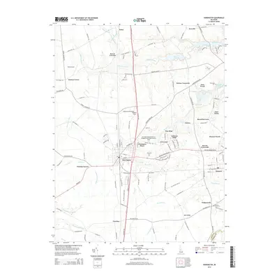
2014 Map of Harrington
USGS Topo · Published 2014About this map
The Harrington rail and road corridor anchors this detailed portrait of Kent County, Delaware, during the early 21st century. As a central hub on the Delmarva Peninsula, the landscape is defined by its transition from agricultural expanses to established crossroads and burgeoning residential developments. Notable nodes of settlement like Houston, Williamsville, and Felton are connected by a dense network of country roads, while the Murderkill River and its various tributaries, including Browns Br and Beaverdam Br, snake through the low-lying terrain.
Find a feature on this map
130 named features on this map. Tap any name to fly to it.
Don’t see what you’re looking for? This feature index may not catch every label — zoom into the map to look around manually.
Map Details
Editions of this 2014 Harrington Map
This is the sole edition of this map. No revisions or reprints were ever made.
Other maps of this area

1899 · Vineland
USGS Topo · 1:125,000

1899 · Dover
USGS Topo · 1:125,000

1906 · Dover
USGS Topo · 1:125,000

1918 · Cedar Creek
USGS Topo · 1:62,500

1918 · Harrington
USGS Topo · 1:62,500

1919 · Cedar Creek
USGS Topo · 1:62,500

1919 · Vineland
USGS Topo · 1:125,000

1920 · Dover
USGS Topo · 1:125,000

1926 · Wyoming
USGS Topo · 1:48,000

1930 · Wyoming
USGS Topo · 1:62,500