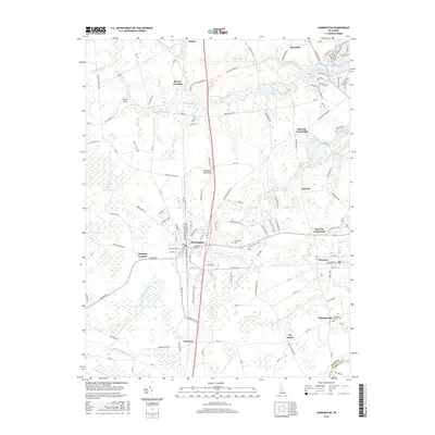
2016 Map of Harrington
USGS Topo · Published 2016About this map
Harrington serves as the central hub of this agricultural and transit landscape on the Delmarva Peninsula, where the established grid of the town meets the radiating rural roads of southern Kent County. The map documents a significant hydrological divide, showing the headwaters of the Murderkill River flowing northeast toward the Delaware Bay, while the southern portion of the sheet drains via the Nanticoke River toward the Chesapeake. This geographic orientation is punctuated by traditional crossroads such as Marvels Crossroads and Melvins Crossroads, which historically served as local commerce points for the surrounding farmsteads.
Find a feature on this map
137 named features on this map. Tap any name to fly to it.
Don’t see what you’re looking for? This feature index may not catch every label — zoom into the map to look around manually.
Map Details
Editions of this 2016 Harrington Map
This is the sole edition of this map. No revisions or reprints were ever made.
Other maps of this area

1899 · Vineland
USGS Topo · 1:125,000

1899 · Dover
USGS Topo · 1:125,000

1906 · Dover
USGS Topo · 1:125,000

1918 · Cedar Creek
USGS Topo · 1:62,500

1918 · Harrington
USGS Topo · 1:62,500

1919 · Cedar Creek
USGS Topo · 1:62,500

1919 · Vineland
USGS Topo · 1:125,000

1920 · Dover
USGS Topo · 1:125,000

1926 · Wyoming
USGS Topo · 1:48,000

1930 · Wyoming
USGS Topo · 1:62,500