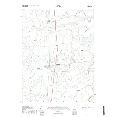
2019 Map of Harrington
USGS Topo · Published 2019About this map
Harrington sits at the heart of this landscape on the Delmarva Peninsula, serving as a central hub for the surrounding agricultural and residential crossroads of Kent County. The geography is defined by a dense network of slow-moving waterways and wetlands, including the northward-flowing Murderkill River and its feeder streams like Black Swamp Cr. To the south, the terrain drains toward the Nanticoke River via Beaverdam Br, illustrating the subtle drainage divide that characterizes this part of the coastal plain.
Find a feature on this map
127 named features on this map. Tap any name to fly to it.
Don’t see what you’re looking for? This feature index may not catch every label — zoom into the map to look around manually.
Map Details
Editions of this 2019 Harrington Map
This is the sole edition of this map. No revisions or reprints were ever made.
Other maps of this area

1899 · Vineland
USGS Topo · 1:125,000

1899 · Dover
USGS Topo · 1:125,000

1906 · Dover
USGS Topo · 1:125,000

1918 · Cedar Creek
USGS Topo · 1:62,500

1918 · Harrington
USGS Topo · 1:62,500

1919 · Cedar Creek
USGS Topo · 1:62,500

1919 · Vineland
USGS Topo · 1:125,000

1920 · Dover
USGS Topo · 1:125,000

1926 · Wyoming
USGS Topo · 1:48,000

1930 · Wyoming
USGS Topo · 1:62,500