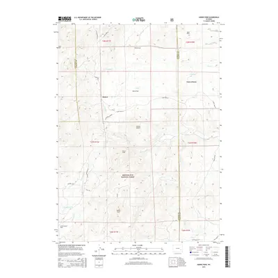
2015 Map of Harris Park
USGS Topo · Published 2015About this map
Medicine Bow National Forest dominates this section of the Laramie Mountains, where the high-altitude terrain is defined by rugged summits and a network of drainages across three county lines. High points such as Albany Peak and the Haystack Peaks overlook a landscape transitioning from the steep ridges of Rock Mtn to the more open reaches of Sand Draw. Small residential and ranching clusters like Binford and Harris Park are connected by winding mountain routes, including Harris Park Rd and Cottonwood Park Rd.
Find a feature on this map
38 named features on this map. Tap any name to fly to it.
Don’t see what you’re looking for? This feature index may not catch every label — zoom into the map to look around manually.
Map Details
Editions of this 2015 Harris Park Map
This is the sole edition of this map. No revisions or reprints were ever made.
Other maps of this area

1943 · Esterbrook
USGS Topo · 1:62,500

1945 · Esterbrook
USGS Topo · 1:62,500

1949 · Spring Creek
USGS Topo · 1:24,000

1950 · Spring Creek
USGS Topo · 1:24,000

1950 · Cottonwood Falls
USGS Topo · 1:24,000

1951 · Cottonwood Falls
USGS Topo · 1:24,000

1953 · Johnson Mountain
USGS Topo · 1:24,000

1954 · Torrington
USGS Topo · 1:250,000

1958 · Torrington
USGS Topo · 1:250,000
1968 · Fletcher Park
USGS Topo · 1:24,000