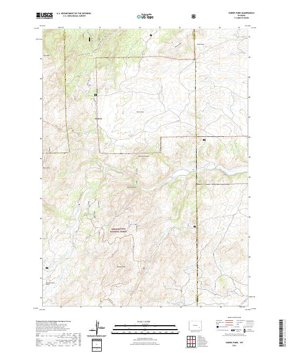
2021 Map of Harris Park
USGS Topo · Published 2021About this map
Medicine Bow National Forest dominates this landscape, where the high-altitude terrain of the Laramie Mountains meets small, established settlements. The area around Harris Park and Binford is defined by a network of drainage systems including Soldier Cr and Cottonwood Cr, which have historically shaped the accessibility of these uplands. This map documents a region characterized by private holdings interspersed within federal lands, notably around Harmon Heights and the specialized Cottonwood Park area.
Find a feature on this map
45 named features on this map. Tap any name to fly to it.
Don’t see what you’re looking for? This feature index may not catch every label — zoom into the map to look around manually.
Map Details
Editions of this 2021 Harris Park Map
This is the sole edition of this map. No revisions or reprints were ever made.
Other maps of this area
1943 · Esterbrook
USGS Topo · 1:62,500
1945 · Esterbrook
USGS Topo · 1:62,500
1949 · Spring Creek
USGS Topo · 1:24,000
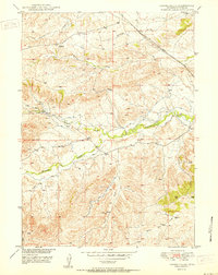
1950 · Spring Creek
USGS Topo · 1:24,000
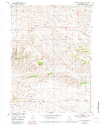
1950 · Cottonwood Falls
USGS Topo · 1:24,000
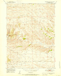
1951 · Cottonwood Falls
USGS Topo · 1:24,000
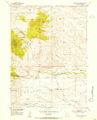
1953 · Johnson Mountain
USGS Topo · 1:24,000
1954 · Torrington
USGS Topo · 1:250,000
1958 · Torrington
USGS Topo · 1:250,000
1968 · Fletcher Park
USGS Topo · 1:24,000