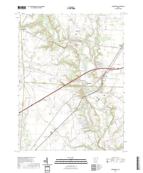
2023 Map of Harrisburg
USGS Topo · Published 2023About this map
Big Darby Creek winds through this central Ohio landscape, serving as a primary corridor for the small communities of Harrisburg, Darbydale, and Orient. The area is defined by its agricultural character and the complex drainage of waterways like Hellbranch Run and Greenbrier Creek. Notable for genealogists and local historians are the specifically named burial grounds, including the Little Pennsylvania Cem and the Orient Feeble Minded Institute Cem, the latter reflecting the history of the institutional facilities once located in the vicinity of Orient.
Find a feature on this map
85 named features on this map. Tap any name to fly to it.
Don’t see what you’re looking for? This feature index may not catch every label — zoom into the map to look around manually.
Map Details
Editions of this 2023 Harrisburg Map
This is the sole edition of this map. No revisions or reprints were ever made.
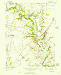
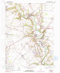
Historical Maps of Darbydale Through Time
3 maps found
Featured Locations
- Darby Township, OH
- Pleasant Township, OH
- Fairfield Township, OH
- Pleasant Township, OH
- Orient, Scioto Township