
1955 Map of Harrison
USGS Topo · Published 1956About this map
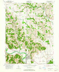
Harrison and West Harrison sit at a critical geographical junction where the Whitewater River meets the New York Central Railroad, straddling the border between Ohio and Indiana. This mid-1950s survey highlights the transition from concentrated village centers to the expansive Miami Whitewater Forest and surrounding farmland. The rail corridor is a primary feature of the valley, supporting local transit and industry near the Harrison Airport.
Find a feature on this map
50 named features on this map. Tap any name to fly to it.
Don’t see what you’re looking for? This feature index may not catch every label — zoom into the map to look around manually.
Map Details
Editions of this 1955 Harrison Map
5 editions found
Other maps of this area

1914 · West Cincinnati
USGS Topo · 1:62,500

1915 · Lawrenceburg
USGS Topo · 1:48,000

1915 · Harrison
USGS Topo · 1:48,000

1915 · Hamilton
USGS Topo · 1:62,500

1917 · Hamilton
USGS Topo · 1:62,500

1928 · Lawrenceburg
USGS Topo · 1:62,500

1932 · Lawrenceburg
USGS Topo · 1:62,500

1943 · Hooven
USGS Topo · 1:24,000

1943 · Guilford
USGS Topo · 1:24,000

1953 · Guilford
USGS Topo · 1:24,000