
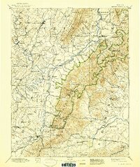
1892 Map of Harrisonburg
USGS Topo · Published 1901About this map
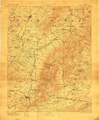
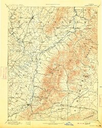
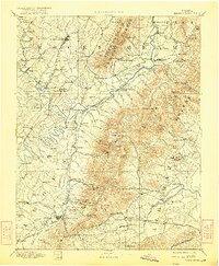
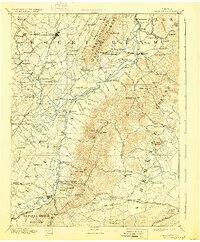
Harrisonburg serves as the focal point of this late 19th-century survey, surrounded by a dense network of farming communities and industrial outposts along the Valley Road. The landscape is dominated by the massive ridge of Massanutten Mt. and the complex drainage of the Shenandoah River and South River. Local commerce is evidenced by Meyerhoffer's Store and several processing sites including Goods Mill and a Saw Mill near the gap.
Find a feature on this map
159 named features on this map. Tap any name to fly to it.
Don’t see what you’re looking for? This feature index may not catch every label — zoom into the map to look around manually.
Map Details
Editions of this 1892 Harrisonburg Map
6 editions found
Other maps of this area

1891 · Palmyra
USGS Topo · 1:125,000

1892 · Buckingham
USGS Topo · 1:125,000

1892 · Franklin
USGS Topo · 1:125,000

1892 · Woodstock
USGS Topo · 1:125,000

1892 · Gordonsville
USGS Topo · 1:125,000

1893 · Luray
USGS Topo · 1:125,000

1894 · Staunton
USGS Topo · 1:125,000

1894 · Lexington
USGS Topo · 1:125,000

1895 · Palmyra
USGS Topo · 1:125,000

1896 · Franklin
USGS Topo · 1:125,000