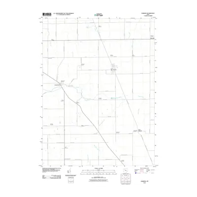
2010 Map of Harrod
USGS Topo · Published 2010About this map
The Auglaize River meanders across this rural Allen County landscape, serving as a central geographic anchor for the settlements of Westminster and Harrod. This 2010 survey reveals a highly organized township grid defined by family-named corridors such as Brentlinger Rd, S Phillips Rd, and Lawrence Rd. The density of small, ancestral burial grounds suggests a deeply rooted agricultural community; researchers can find numerous local sites including Salem Cemetery, Auglaize Cemetery, and Mount Zion Cemetery scattered throughout the farmland.
Find a feature on this map
62 named features on this map. Tap any name to fly to it.
Don’t see what you’re looking for? This feature index may not catch every label — zoom into the map to look around manually.
Map Details
Editions of this 2010 Harrod Map
This is the sole edition of this map. No revisions or reprints were ever made.
Other maps of this area

1906 · Lima
USGS Topo · 1:62,500

1906 · Columbus Grove
USGS Topo · 1:62,500

1907 · Bluffton
USGS Topo · 1:62,500

1908 · Columbus Grove
USGS Topo · 1:62,500

1913 · Alger
USGS Topo · 1:48,000

1915 · Alger
USGS Topo · 1:62,500

1943 · Alger
USGS Topo · 1:62,500

1950 · Marion
USGS Topo · 1:250,000

1953 · Muncie
USGS Topo · 1:250,000

1956 · Muncie
USGS Topo · 1:250,000