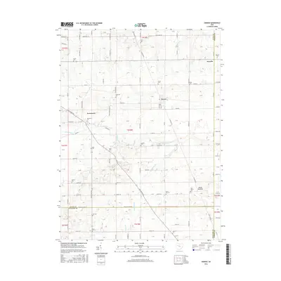
2016 Map of Harrod
USGS Topo · Published 2016About this map
Harrod and Westminster anchor this portion of Allen County, where the agricultural landscape is divided by the meandering Auglaize River and several tributary streams. The area is dense with historical burial grounds, providing a significant resource for genealogical research; locations like Fisher Cem, Maysville Cem, and Mount Zion Cem are scattered across the township lines. The transition between Allen, Auglaize, and Hardin counties is marked by a network of rural roads such as Bellfontaine Rd and Amherst Rd that connect the small settlements. In the southern reach of the quadrangle, Muchinippi Cr and Beaverdam Br drain the territory near West Newton, while Little Hog Cr flows through the northeast corner past Maysville. The map captures the enduring rural character and the family-named landmarks that define this pocket of Western Ohio.
Find a feature on this map
42 named features on this map. Tap any name to fly to it.
Don’t see what you’re looking for? This feature index may not catch every label — zoom into the map to look around manually.
Map Details
Editions of this 2016 Harrod Map
This is the sole edition of this map. No revisions or reprints were ever made.
Other maps of this area

1906 · Lima
USGS Topo · 1:62,500

1906 · Columbus Grove
USGS Topo · 1:62,500

1907 · Bluffton
USGS Topo · 1:62,500

1908 · Columbus Grove
USGS Topo · 1:62,500

1913 · Alger
USGS Topo · 1:48,000

1915 · Alger
USGS Topo · 1:62,500

1943 · Alger
USGS Topo · 1:62,500

1950 · Marion
USGS Topo · 1:250,000

1953 · Muncie
USGS Topo · 1:250,000

1956 · Muncie
USGS Topo · 1:250,000