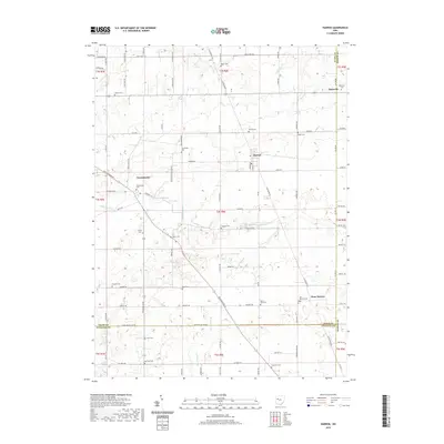
2019 Map of Harrod
USGS Topo · Published 2019About this map
Harrod and Westminster anchor this rural landscape in Allen County, where the Auglaize River cuts across the center of the sheet. The map reveals a dense network of family and community history through its numerous burial grounds, including Fisher Cem, Hullibarger Cem, and Ridge Cem. These sites, along with smaller settlements like West Newton and Maysville, illustrate the early 21st-century agricultural character of the region.
Find a feature on this map
86 named features on this map. Tap any name to fly to it.
Don’t see what you’re looking for? This feature index may not catch every label — zoom into the map to look around manually.
Map Details
Editions of this 2019 Harrod Map
This is the sole edition of this map. No revisions or reprints were ever made.
Other maps of this area

1906 · Lima
USGS Topo · 1:62,500

1906 · Columbus Grove
USGS Topo · 1:62,500

1907 · Bluffton
USGS Topo · 1:62,500

1908 · Columbus Grove
USGS Topo · 1:62,500

1913 · Alger
USGS Topo · 1:48,000

1915 · Alger
USGS Topo · 1:62,500

1943 · Alger
USGS Topo · 1:62,500

1950 · Marion
USGS Topo · 1:250,000

1953 · Muncie
USGS Topo · 1:250,000

1956 · Muncie
USGS Topo · 1:250,000