
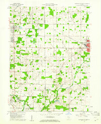
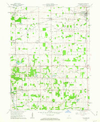
1960 Map of Hartford City West
USGS Topo · Published 1976About this map
Taylor University and the Purdue University Memorial Farm define the intellectual and agricultural landscape of this central Indiana region during the late 1950s. The terrain is a network of small drainages like Big Lick Creek and Hollis Branch, feeding into the Mississinewa River near Matthews. Evidence of early community infrastructure is visible through numerous country churches and burial grounds, such as Bethel Center Ch and Shields Cem, while the County Infirmary and local airports like Inman Airport point to the evolution of public services and regional transportation. The Pennsylvania railroad line cuts through Upland and Hartford City, anchoring the industrial and residential growth of these towns. A notable local landmark, the Covered Bridge on the river, highlights the persistence of traditional engineering amidst the modernization of the era.
Find a feature on this map
47 named features on this map. Tap any name to fly to it.
Don’t see what you’re looking for? This feature index may not catch every label — zoom into the map to look around manually.
Map Details
Editions of this 1960 Hartford City West Map
5 editions found
Other maps of this area

1953 · Muncie
USGS Topo · 1:250,000

1956 · Muncie
USGS Topo · 1:250,000

1960 · Hartford City East
USGS Topo · 1:24,000

1960 · Eaton
USGS Topo · 1:24,000

1960 · Wheeling
USGS Topo · 1:24,000

1960 · Gas City
USGS Topo · 1:24,000

1960 · Gaston
USGS Topo · 1:24,000

1962 · Montpelier
USGS Topo · 1:24,000

1962 · Roll
USGS Topo · 1:24,000
1962 · Van Buren
USGS Topo · 1:24,000