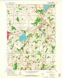
1959 Map of Hartford East
USGS Topo · Published 1964About this map
The village of Slinger serves as a central hub in this late 1950s landscape, where the Chicago Milwaukee ST Paul And Pacific and Chicago And North Western railroads intersect. This junction anchored the local economy, facilitating the movement of goods between the rural townships of Hartford, Polk, and Richfield. The terrain is defined by a dense concentration of gravel pits and a series of glacial lakes, most notably the large Pike Lake and the southern tip of Cedar Lake.
Find a feature on this map
37 named features on this map. Tap any name to fly to it.
Don’t see what you’re looking for? This feature index may not catch every label — zoom into the map to look around manually.
Map Details
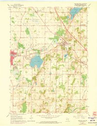
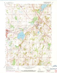
Editions of this 1959 Hartford East Map
3 editions found
Other maps of this area

1892 · Waukesha
USGS Topo · 1:62,500

1892 · Oconomowoc
USGS Topo · 1:62,500

1901 · Waukesha
USGS Topo · 1:62,500

1904 · West Bend
USGS Topo · 1:62,500

1904 · Hartford
USGS Topo · 1:62,500

1906 · Waukesha
USGS Topo · 1:62,500

1909 · Oconomowoc
USGS Topo · 1:62,500

1957 · Madison
USGS Topo · 1:250,000

1959 · West Bend
USGS Topo · 1:62,500
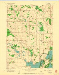
1959 · Stonebank
USGS Topo · 1:24,000